In 2012, I ordered a copy of the FAA’s VFR cross-country wall planning chart, and hung it to our living room wall. Since then, Jean-Baptiste and I have slowly added post-it arrows pointing to “dream destinations” for pilots — places like the Grand Canyon, Big Sur, Yellowstone. Over time, a nice circular route emerged:

Our planned route takes us clockwise around the western U.S., covering 5,526 nautical miles (6,354 mi / 10,225 km) in just under 40 hours of flying
No doubt the weather will wreak havoc with our best-laid plans, but here’s our proposed itinerary. We’ll takeoff from Ithaca and head clockwise around the western United States, planning on flying a few hours each morning, and exploring on the ground in the afternoons:
- Day 1: Ithaca, New York to Lincoln. Our friend Bill learned to fly at the East Hill Flying Club while he was finishing his PhD at Cornell; Bill recently moved to teach at the University of Nebraska at Lincoln, and we’re looking forward to catching up with Bill and his fiancée Katie. Depending on the headwinds, we’ll stop either once or twice for fuel and a break en route to the Lincoln Airport (KLNK).
- Day 2: Lincoln to Boulder. We’ll leave Lincoln for Boulder, Colorado (KBDU), mostly following I-80 as it heads west. We’ll spend the day doing some hiking and catching up with Sam and Morgan, who Jim met at Clarkson. We’ll plan an early departure so that we can cross the Rockies in the dense and calm air of early morning.
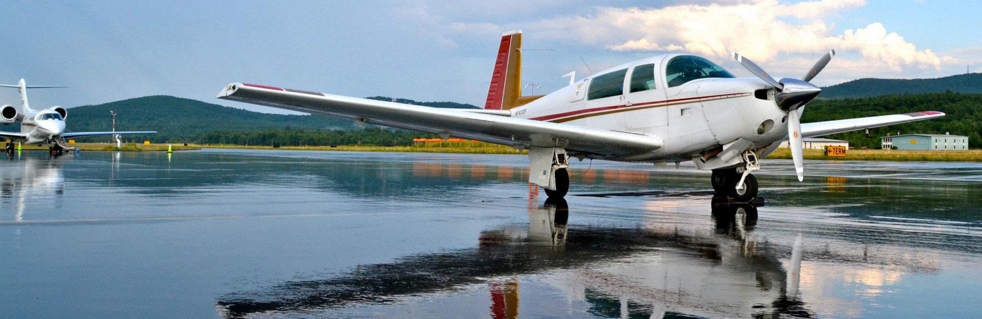
- Day 3: Boulder to the Grand Canyon. We’ll head south from Boulder, keeping the Rockies’ Front Range off our right wing and aiming west of Pike’s Peak. Turning west, we’ll cross the Rockies at Marshall Pass, elevation 10,842 feet. We’ll meet with the Colorado River above Canyonlands National Park, and follow it southwest to the Grand Canyon National Park Airport (KGCN), where we’ll camp overnight in the Park.
- Day 4: Grand Canyon to the Bay Area via Santa Barbara. We’ll leave the Grand Canyon and head to California, overflying Death Valley while swerving around a bunch of restricted airspace over the desert. We’ll see the Pacific for the first time just north of Los Angeles, and we’ll stop in Santa Barbara (KSBA) for the afternoon. After that, it’s onward to San Carlos (KSQL) — just south of San Francisco — via Big Sur and Monterey, but not before we fly past the Golden Gate Bridge at sunset.
- Day 5: rest day in San Francisco.
- Day 6: San Carlos to Seattle. We’ll follow the coast up through northern California and southern Oregon, stopping at Gold Beach airport (4S1) for lunch and fuel, a little runway next to the beach and good seafood. Turning inland, we’ll fly up Oregon’s Willamette Valley, over Mount St. Helens, and land at Paine Field (KPAE) north of Seattle — home of Boeing’s wide-body production line.
- Day 7: rest day in Seattle.
- Day 8: Seattle to Boise. We’ll head back into the high desert, off to Boise, Idaho (KBOI) to stay with our friends Max, Maria, and their gigantic dog, Buck.
- Day 9: Boise to West Yellowstone. Once we land at the West Yellowstone Airport (KWYS), we’ll pitch a tent next to the Mooney and explore the Yellowstone park on the ground.
- Days 10 and 11: back to Ithaca. We’ll fly over Yellowstone Lake and south to Lake Teton, before heading east. Over two days, we’ll fly over Mount Rushmore, past Chicago, and on to Ithaca.
All in all, it’s 5,526 nautical miles (6,354 mi / 10,225 km), and a little under 40 hours of flying time!
