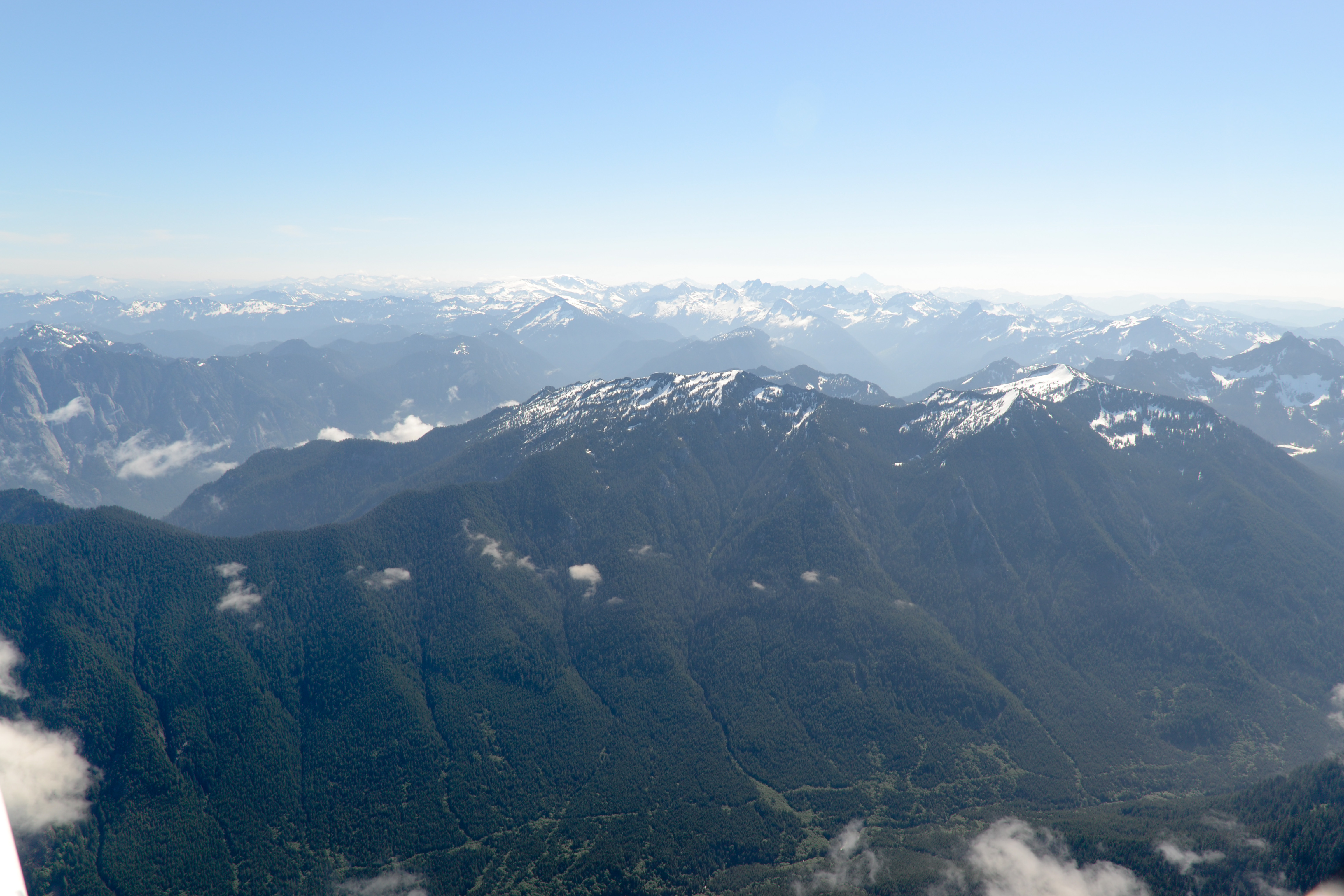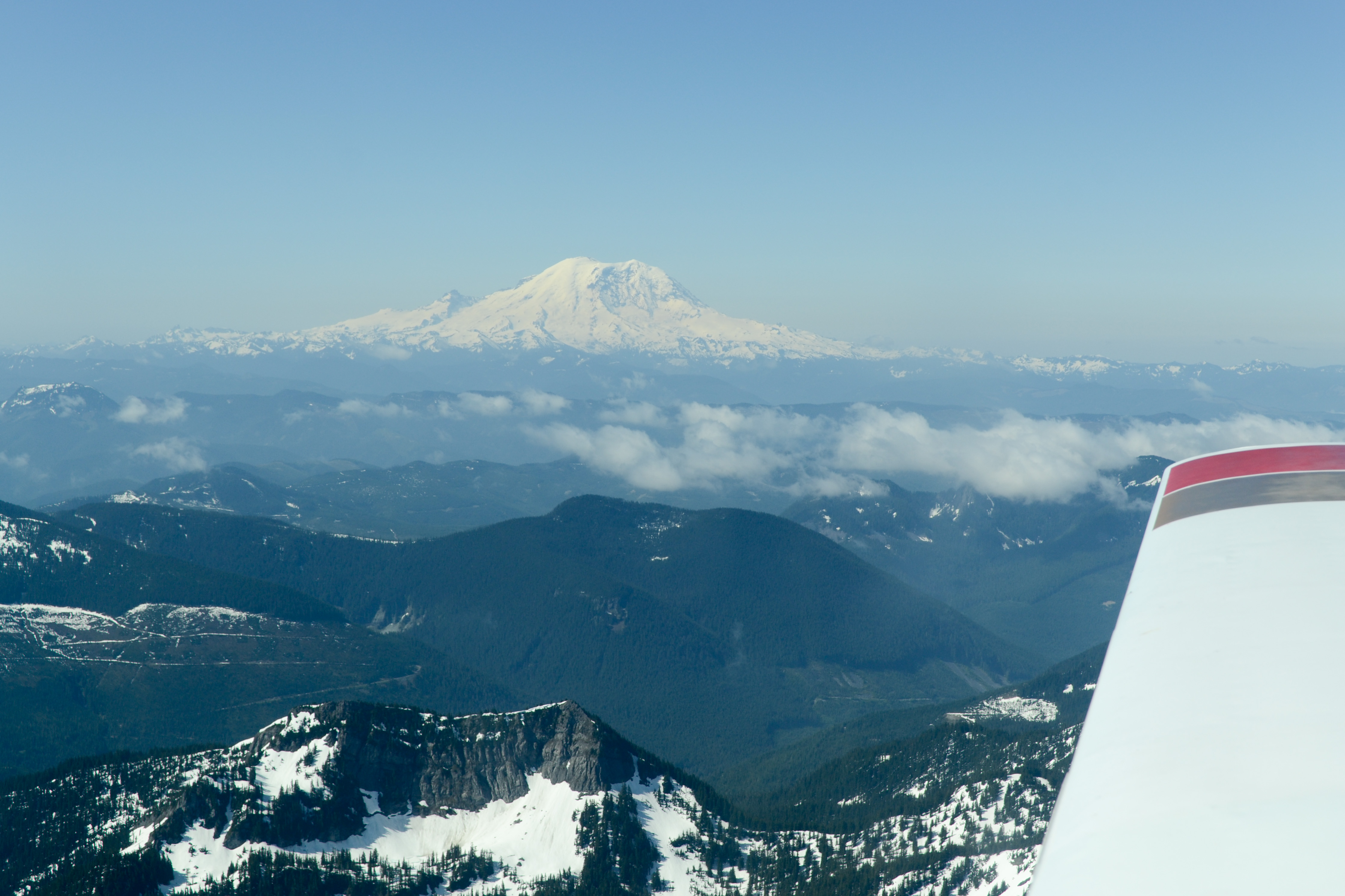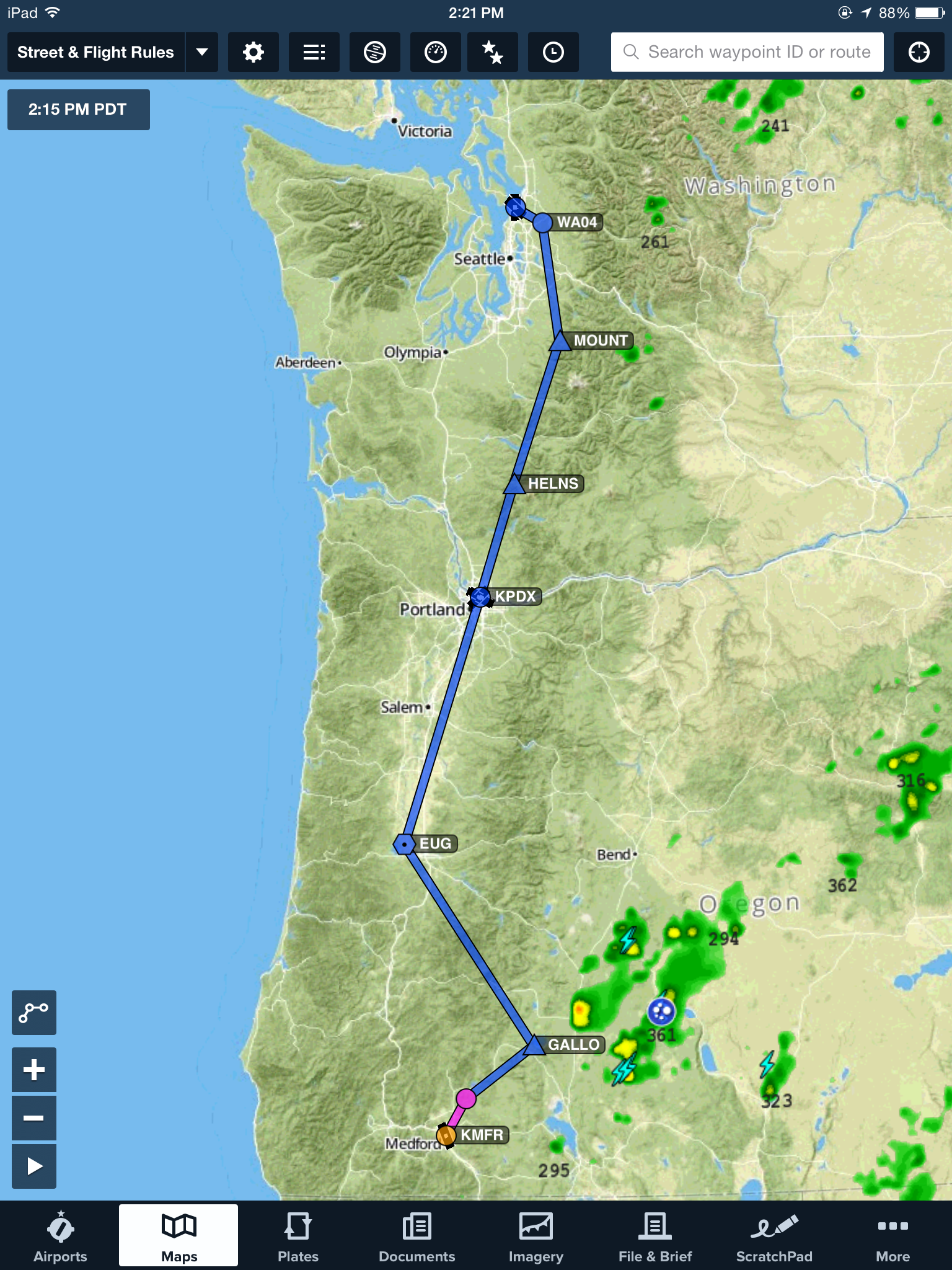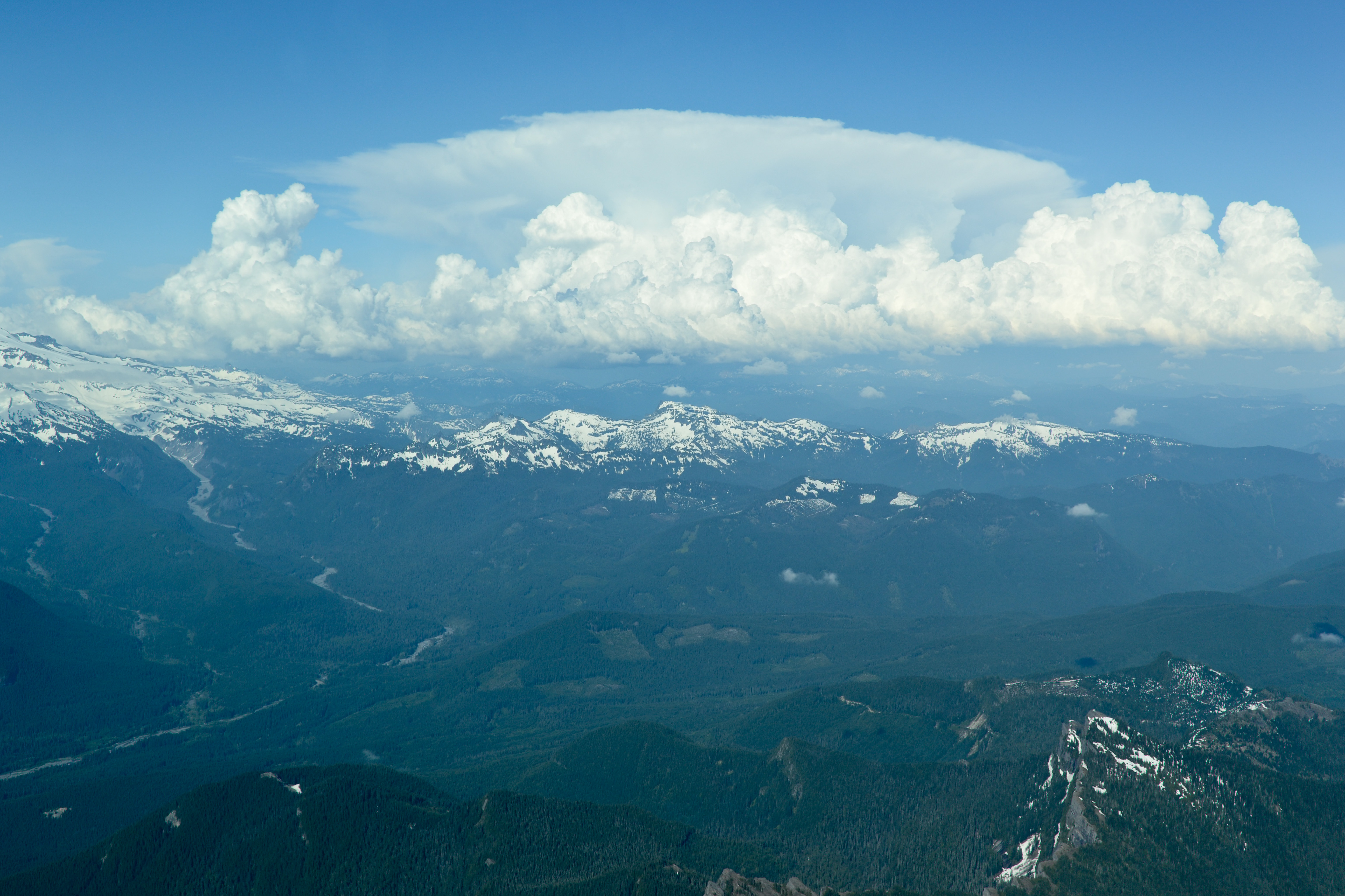
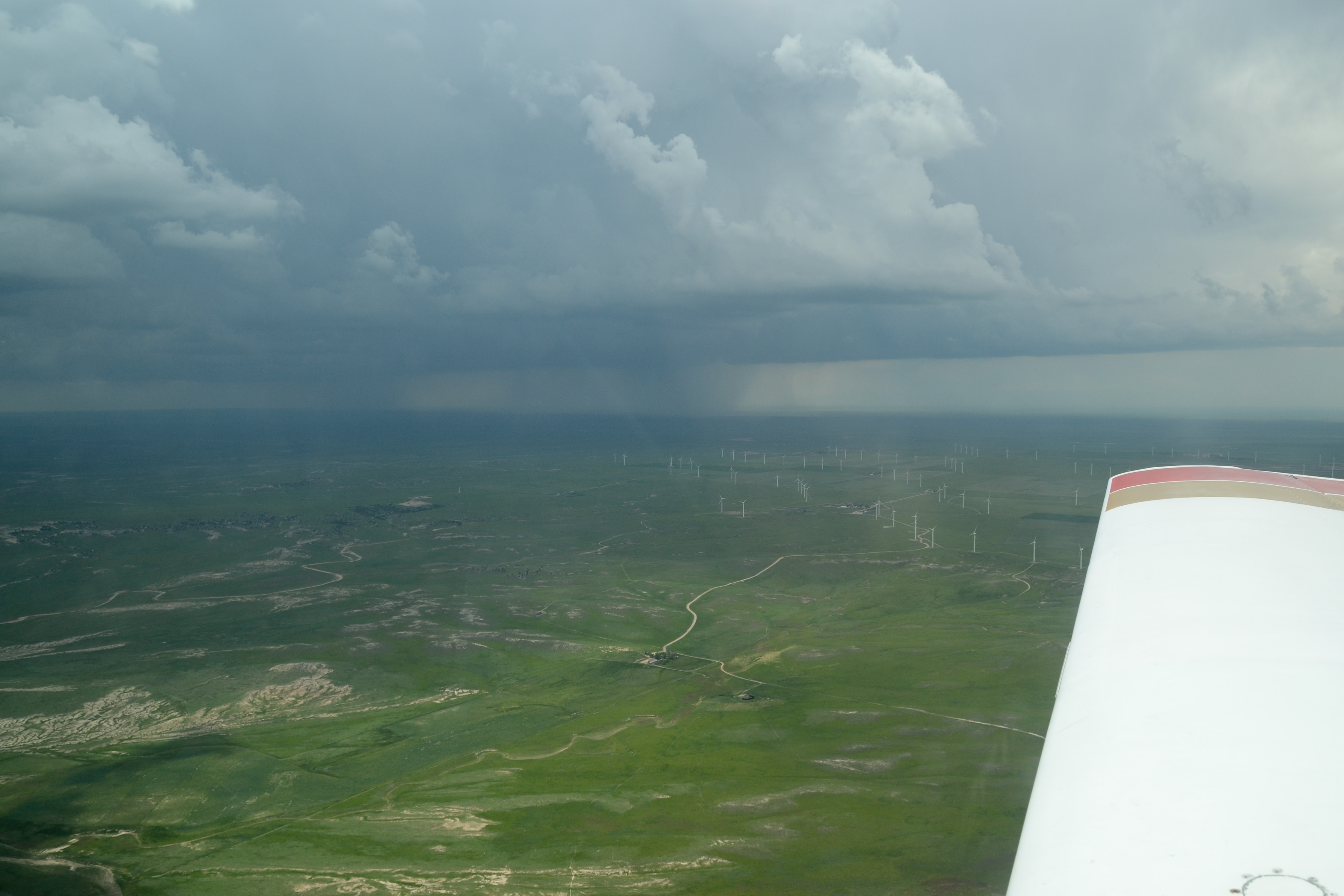
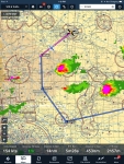
Thunderstorms building west of our route, near Cheyenne, Wyoming
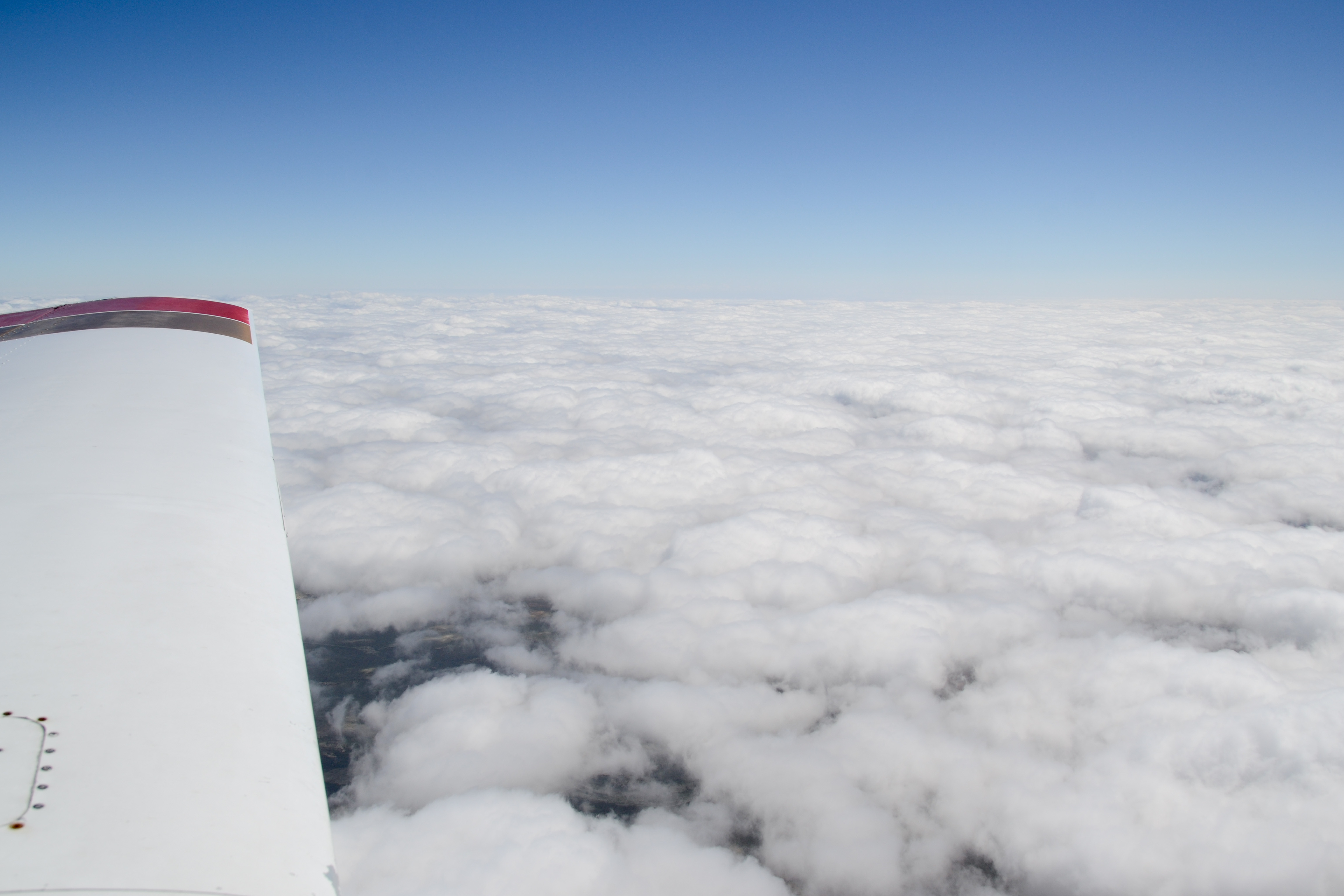
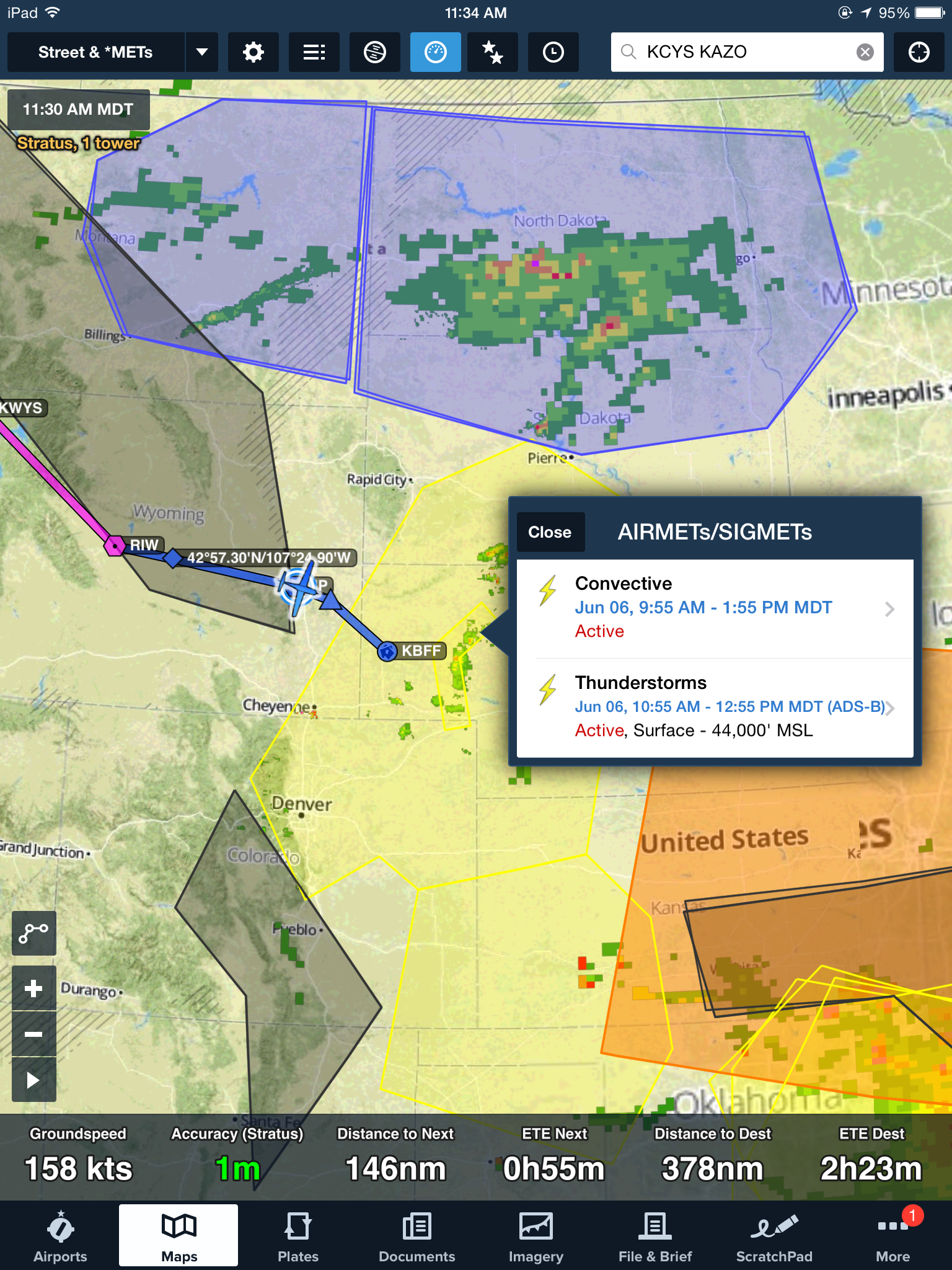
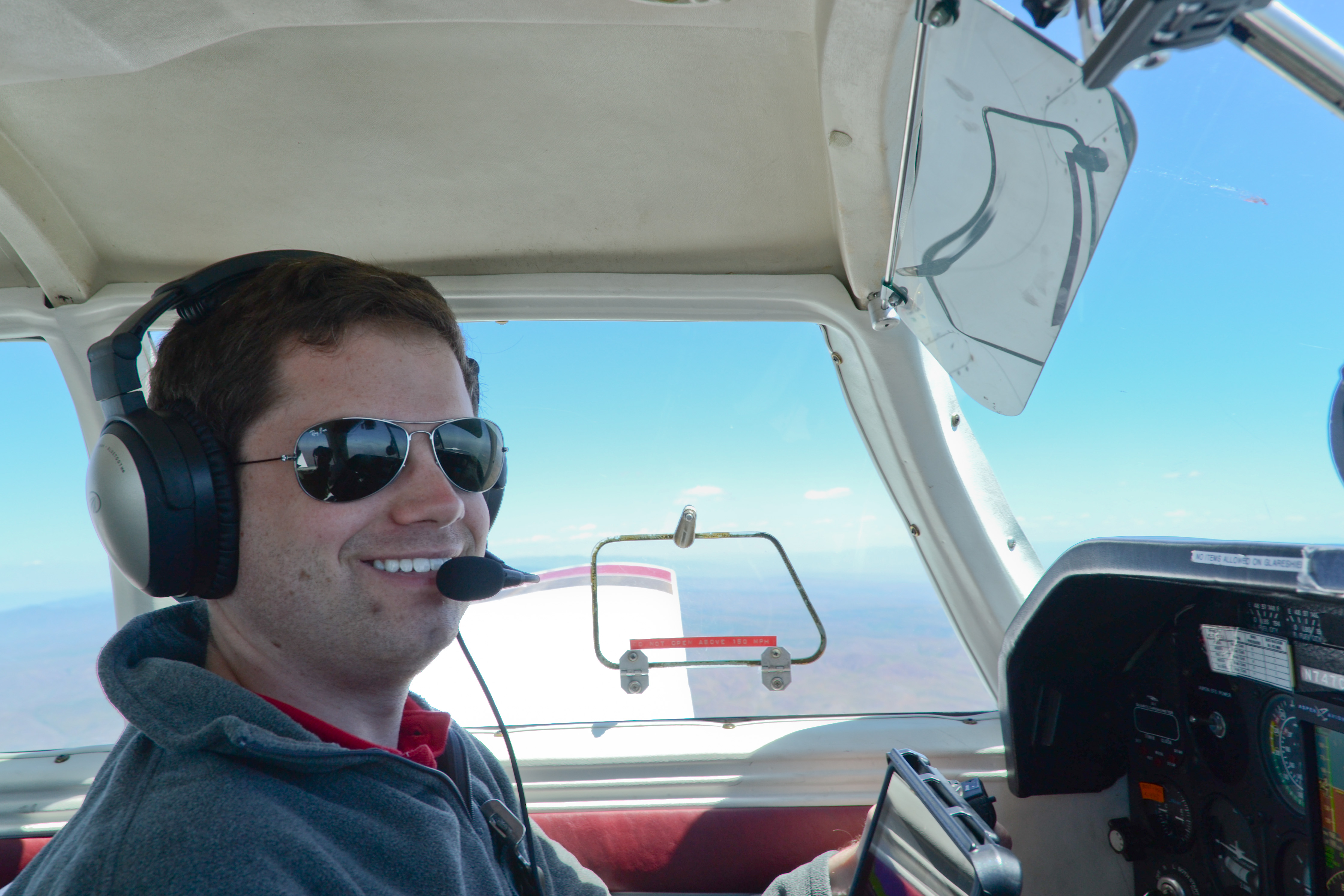
After only about ten minutes on the ground at the Western Nebraska Regional Airport (KBFF) in Scottsbluff, we’re back in the air — headed west! The scattered thunderstorms we watched on the Stratus’ radar are intensifying, and we decide to take the “long route” to get out of the storms’ path, giving us a fighting chance of making it to Michigan today. Jean-Baptiste is in the left seat, and we take off and head southwest toward Cheyenne, Wyoming and then turning east over Fort Morgan, Colorado. It’s a 120 nm detour, and we were fighting 55 knot headwinds at times, but we were able to give the storms a wide (and safe!) berth and continue on for the day.
-

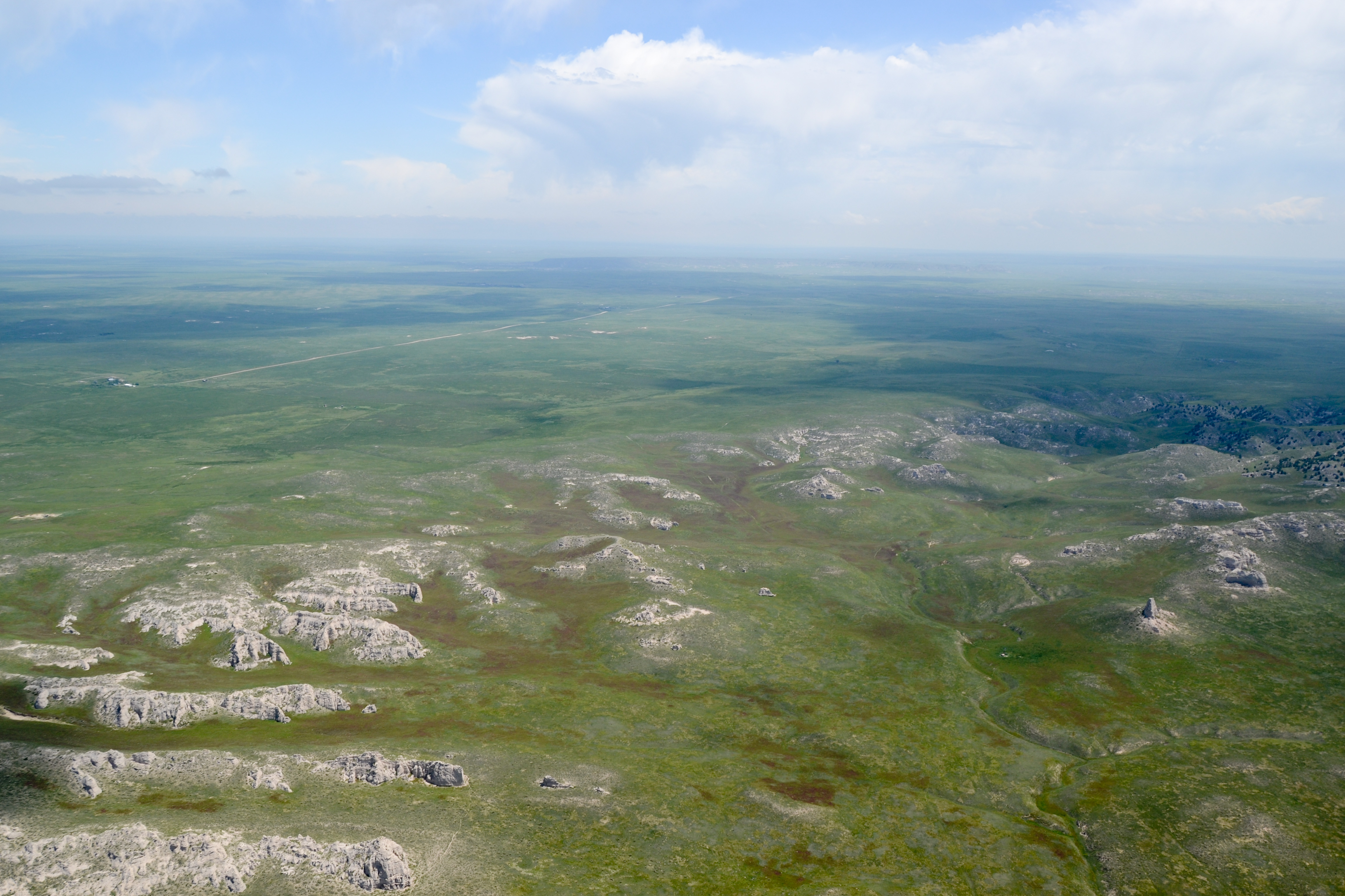
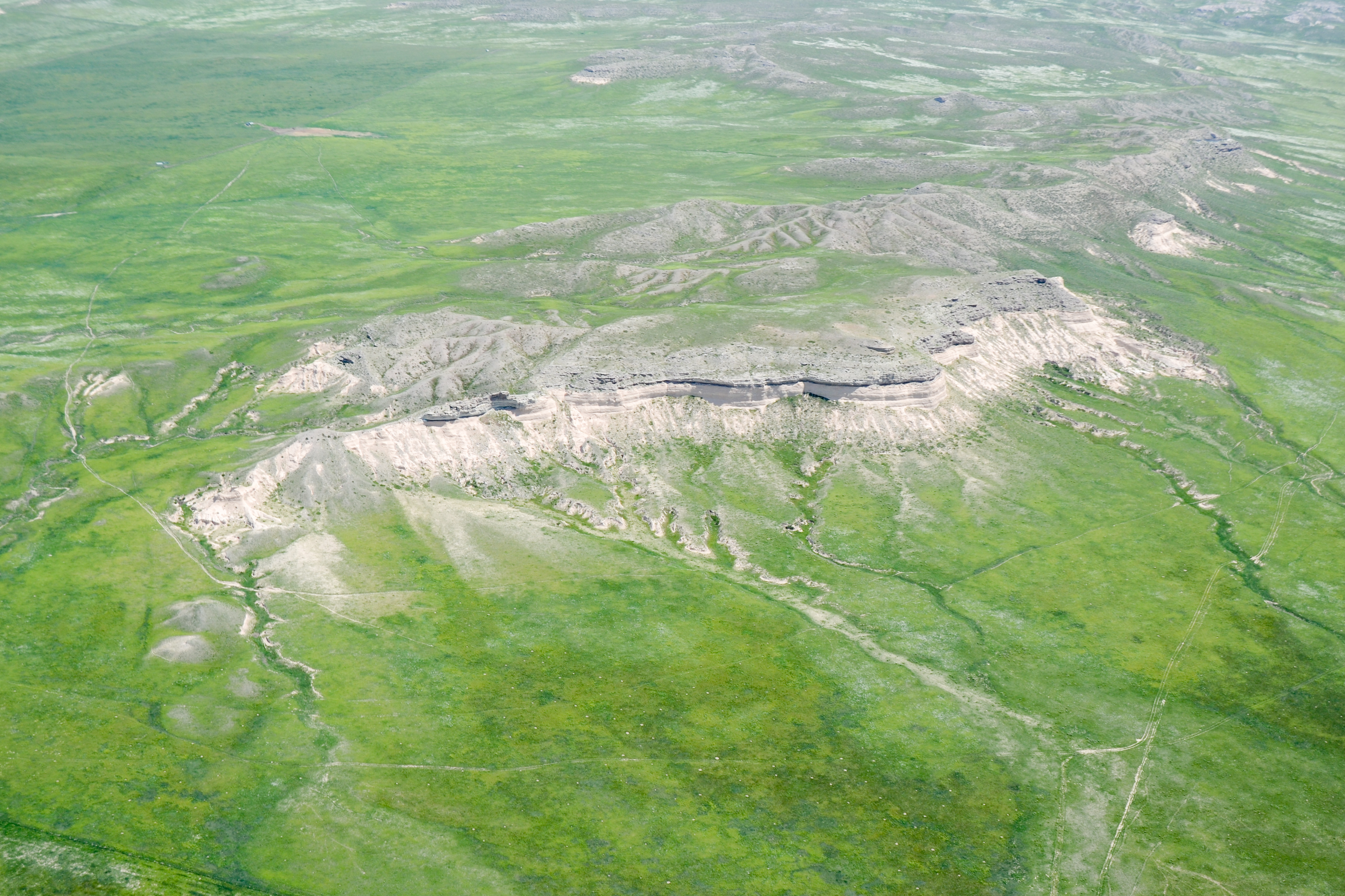
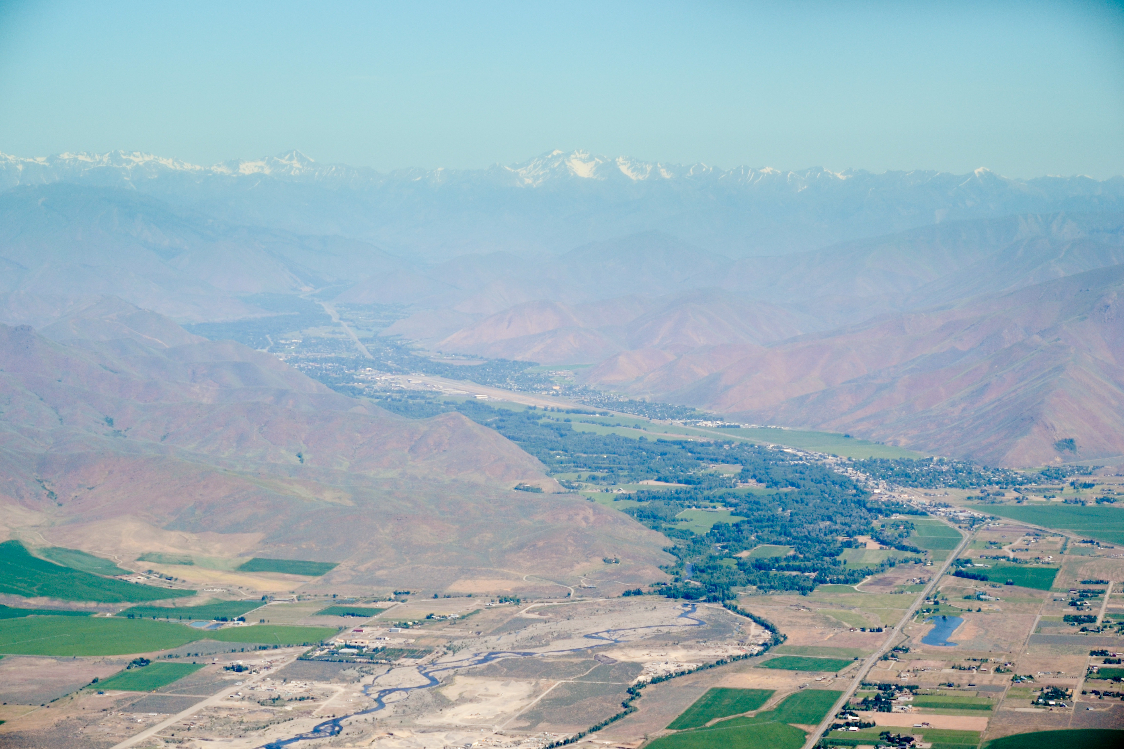
- West of Scottsbluff, Nebraska
-
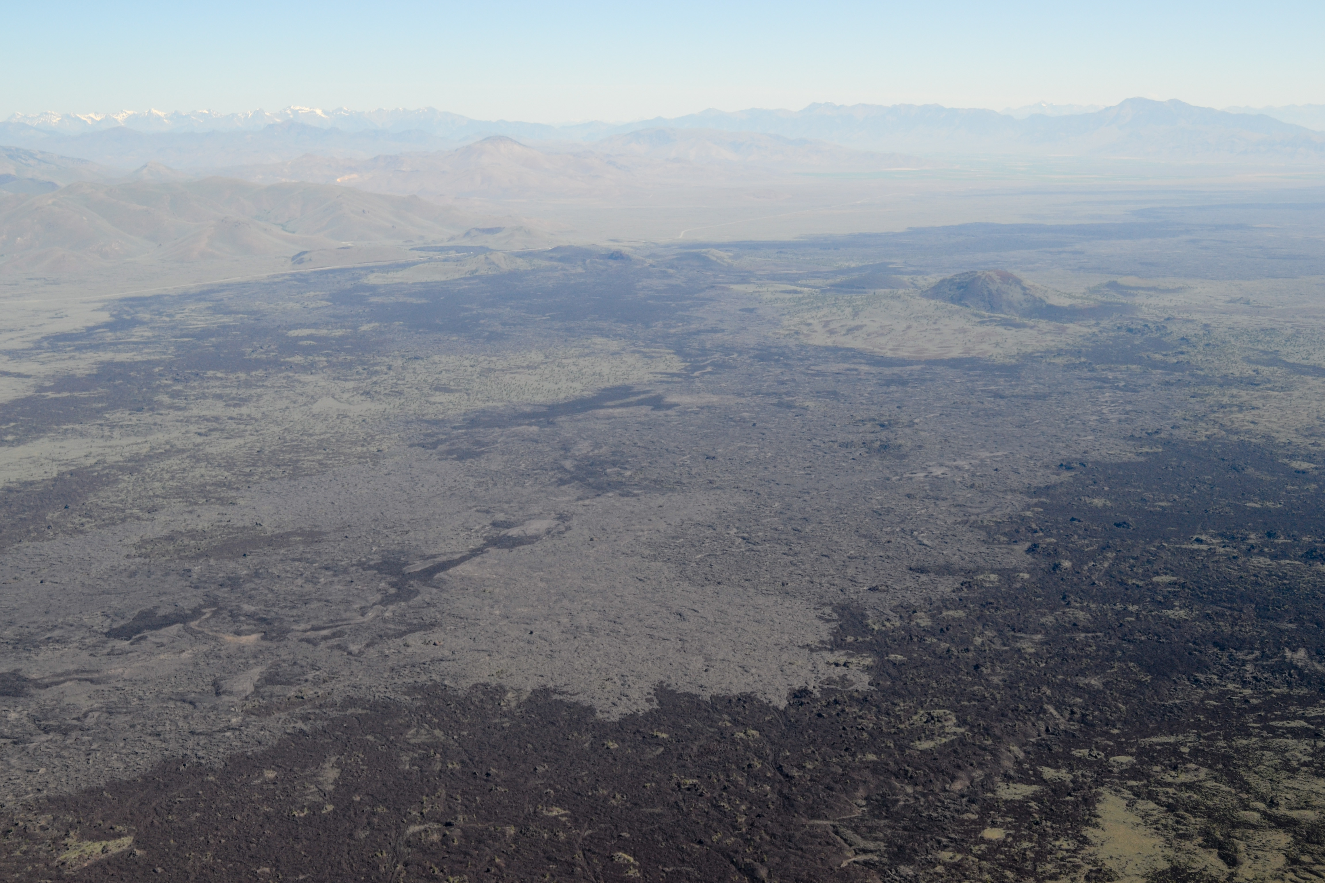
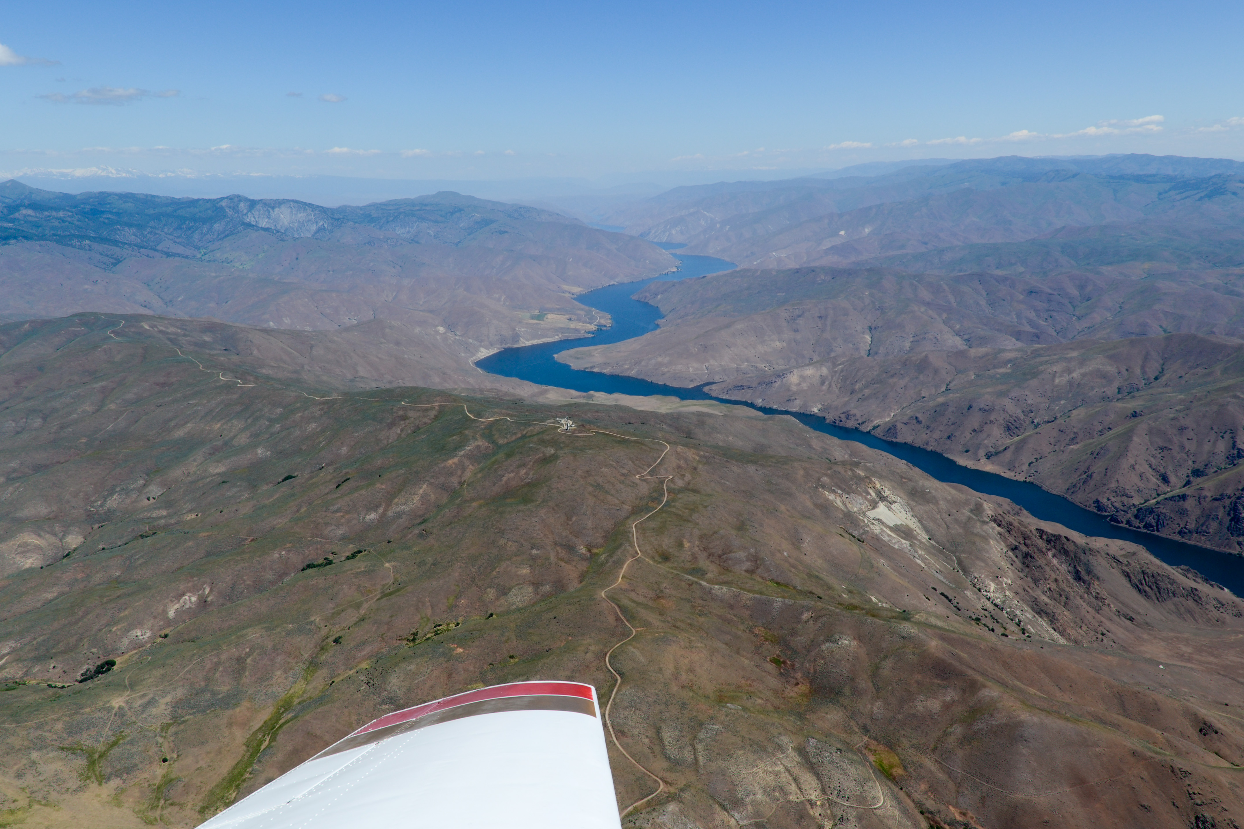
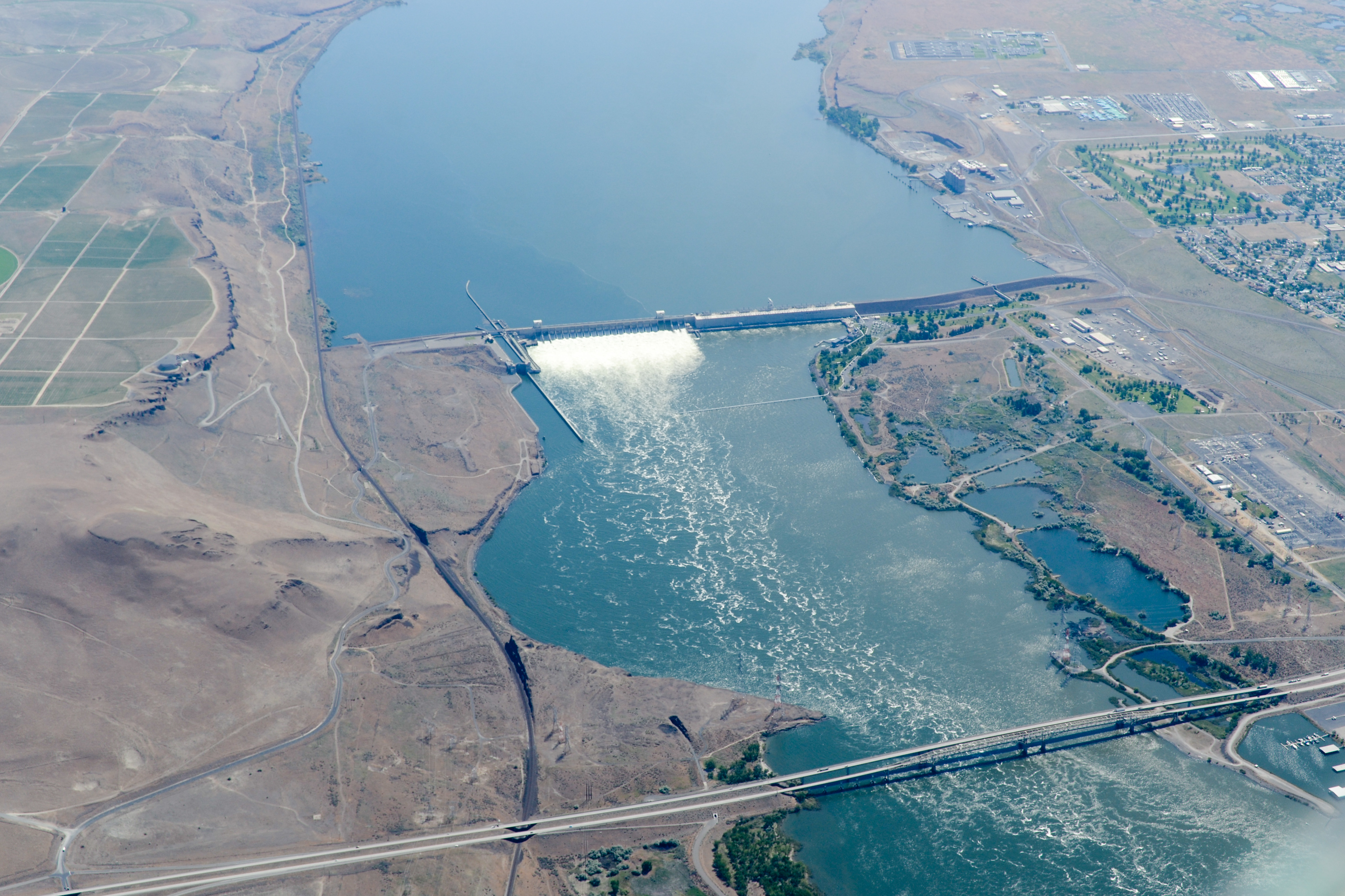
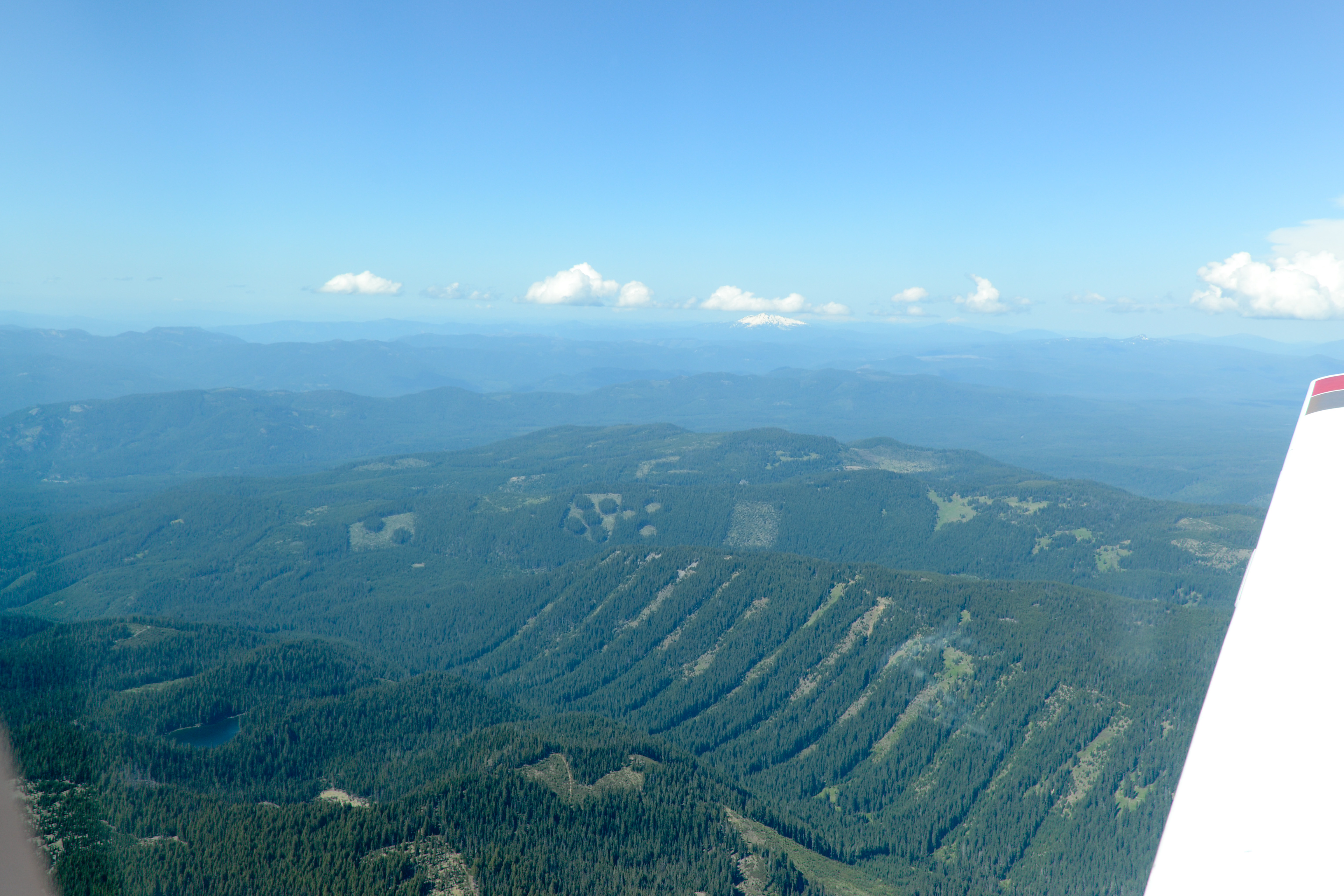
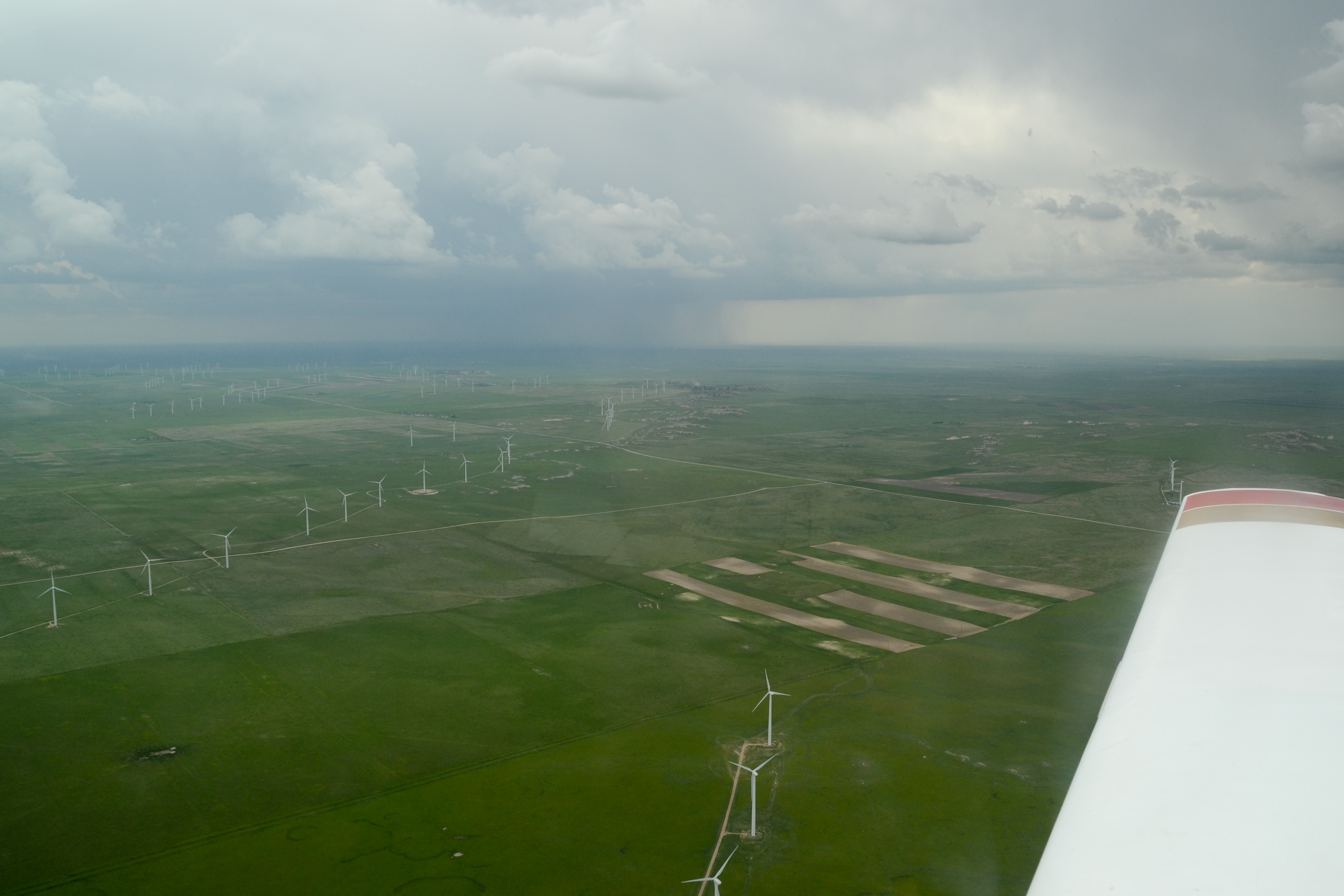
- Storms building west of our route, between Cheyenne and Fort Collins
-
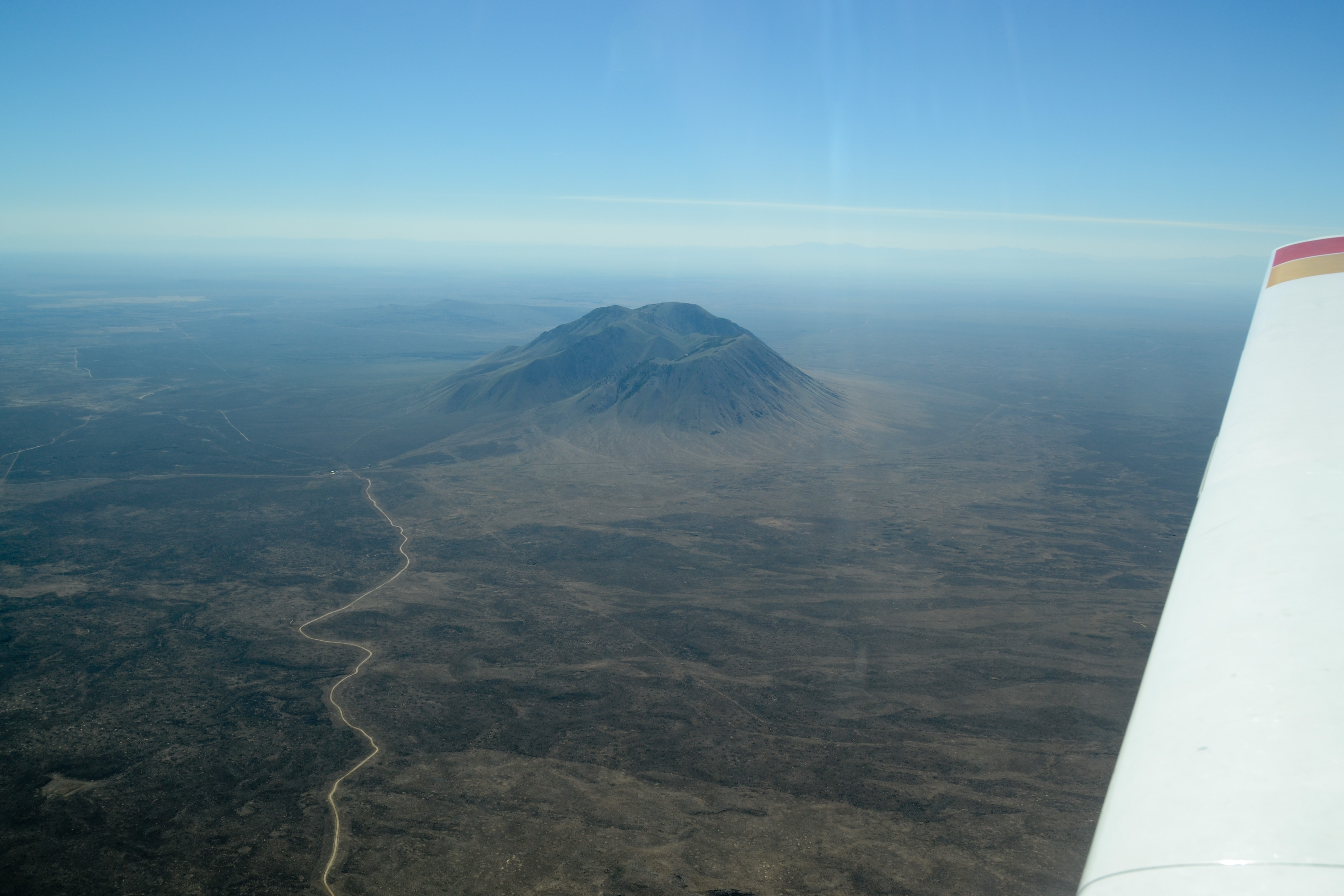
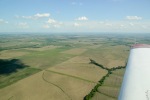
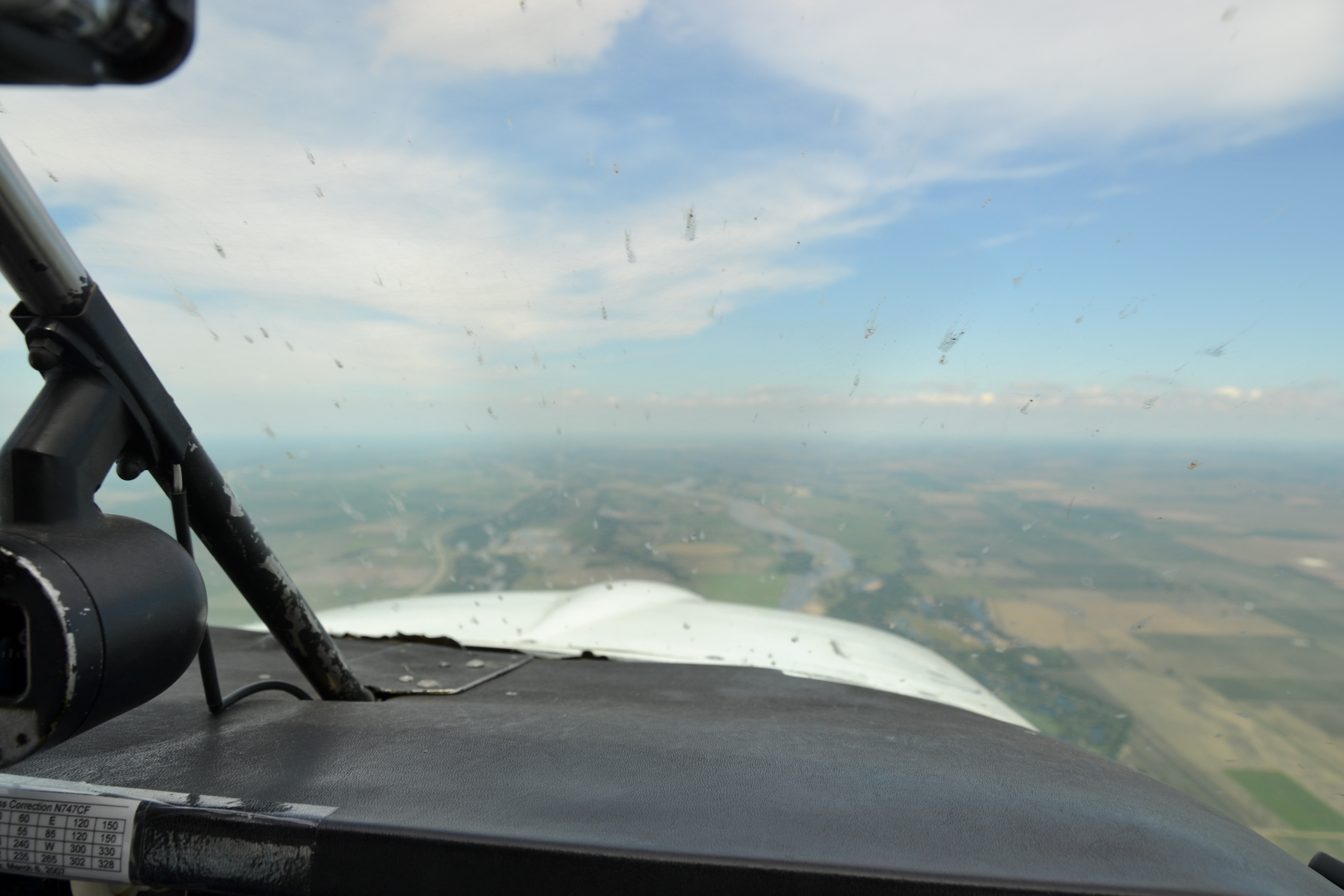
- Keeping our distance from developing storms

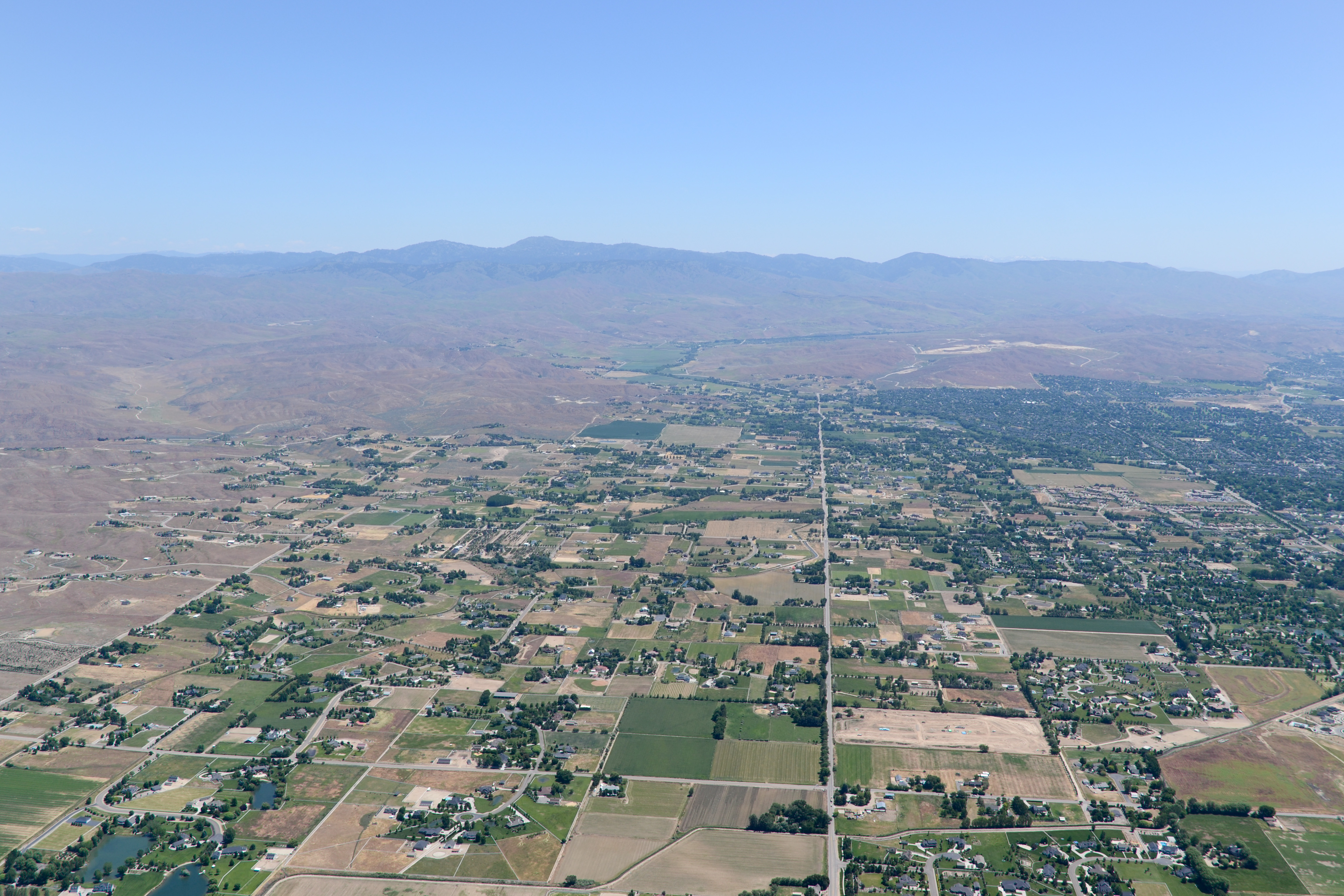
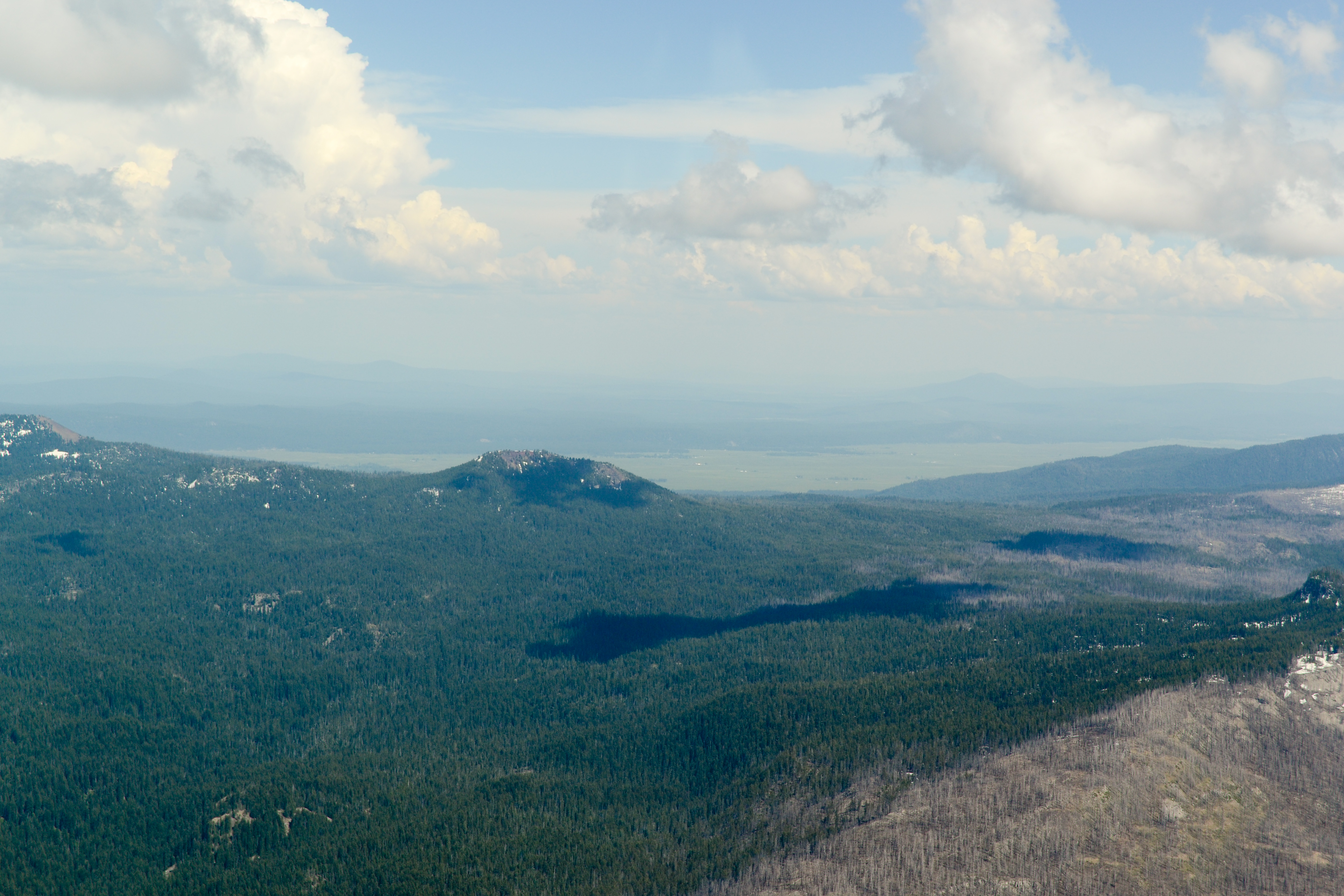
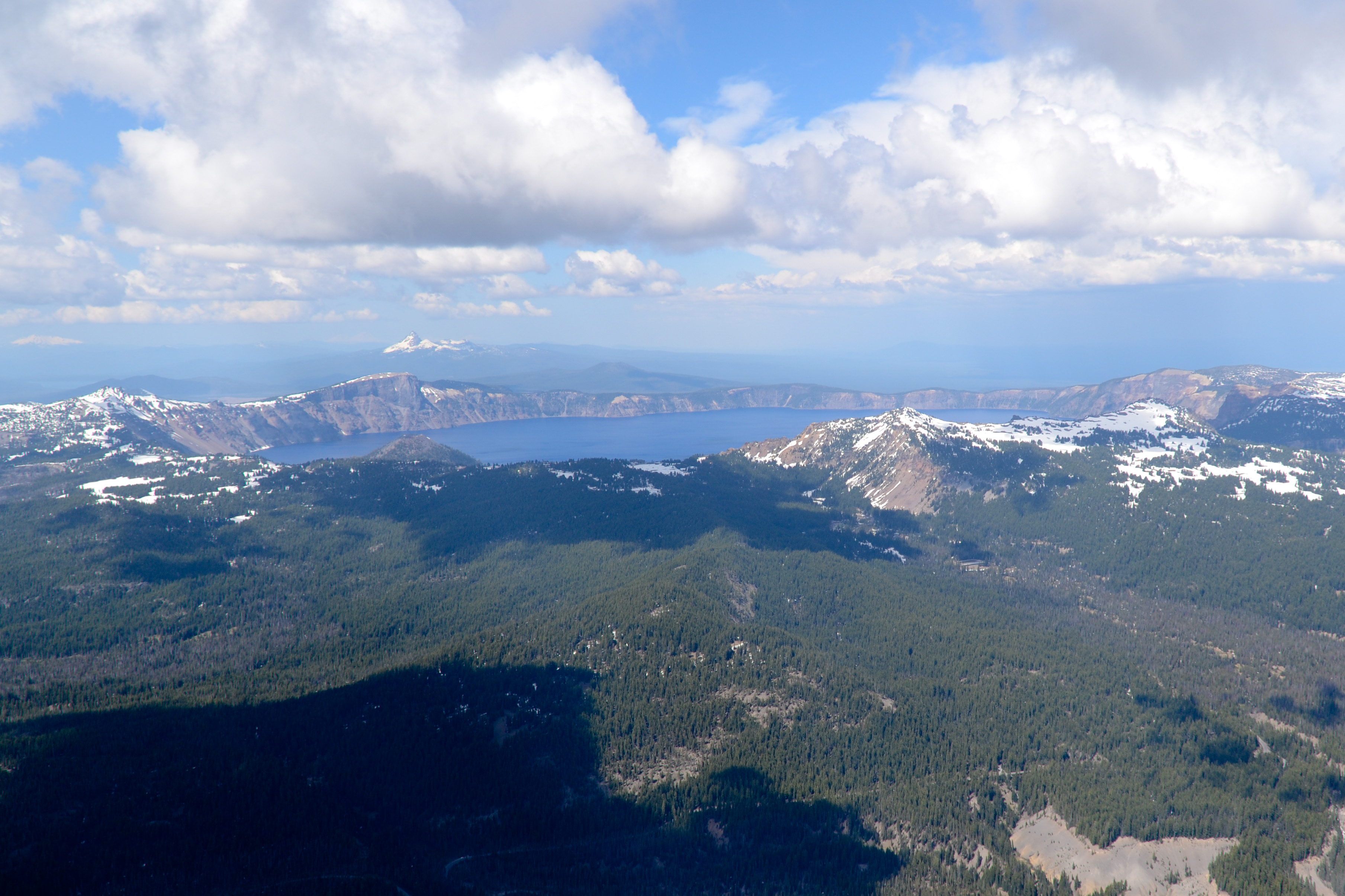
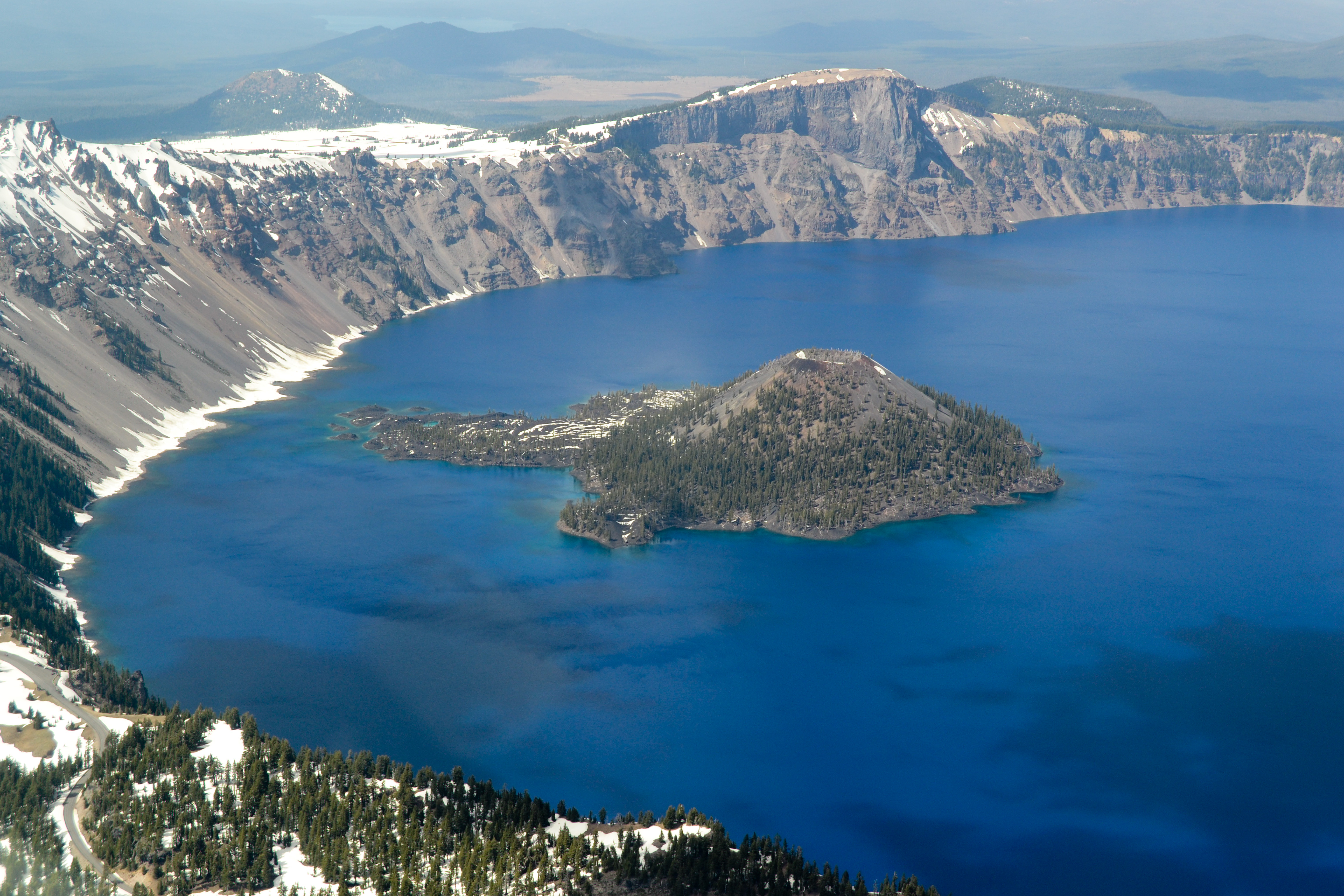
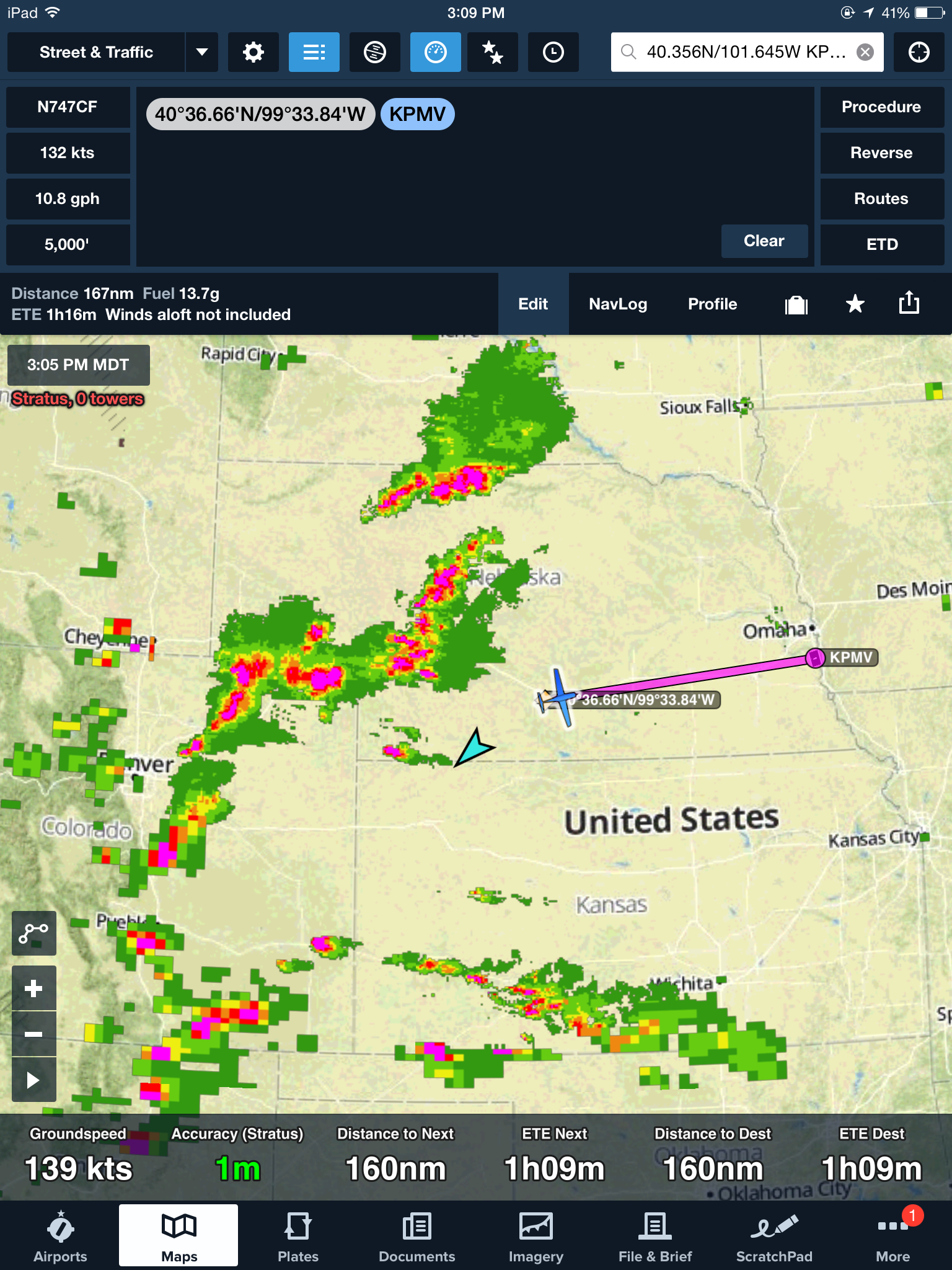
With the storms behind us, we find ourselves paralleling our route from Lincoln to Boulder, this time headed eastbound. The headwinds are stronger than we expected, so we stay relatively low and ride out the afternoon bumps in exchange for a few extra knots. We keep a close eye on the fuel totalizer, leaning the engine for best economy, and decide that Plattsmouth, Nebraska (KPMV, just south of Omaha) is as far as we’ll go on this leg — making Nebraska the only “three landing state” on the trip! Looking behind us on the radar, we’re thankful to have kept moving, as the isolated thunderstorms we detoured around have engulfed western Nebraska and eastern Colorado.
-
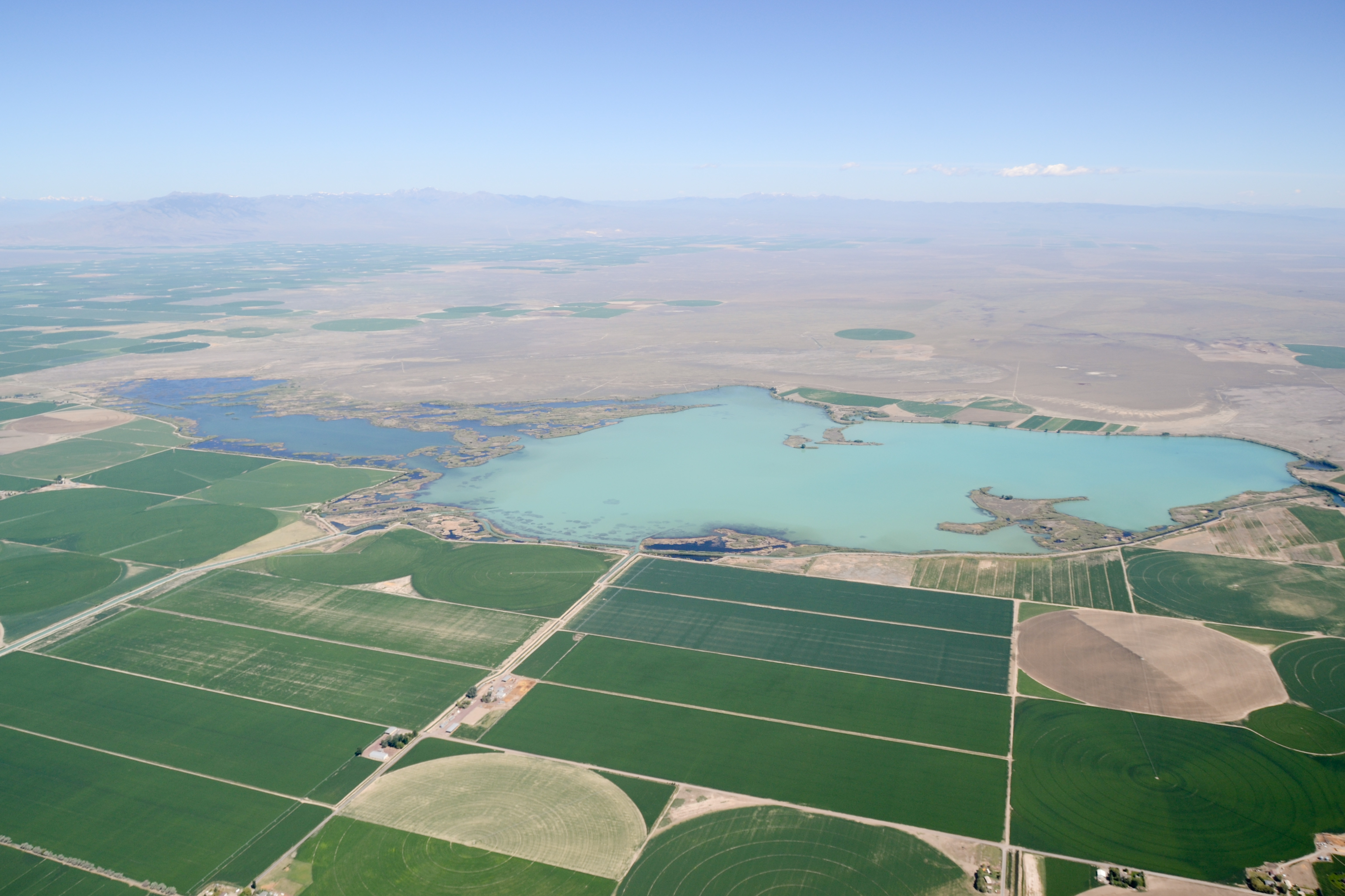
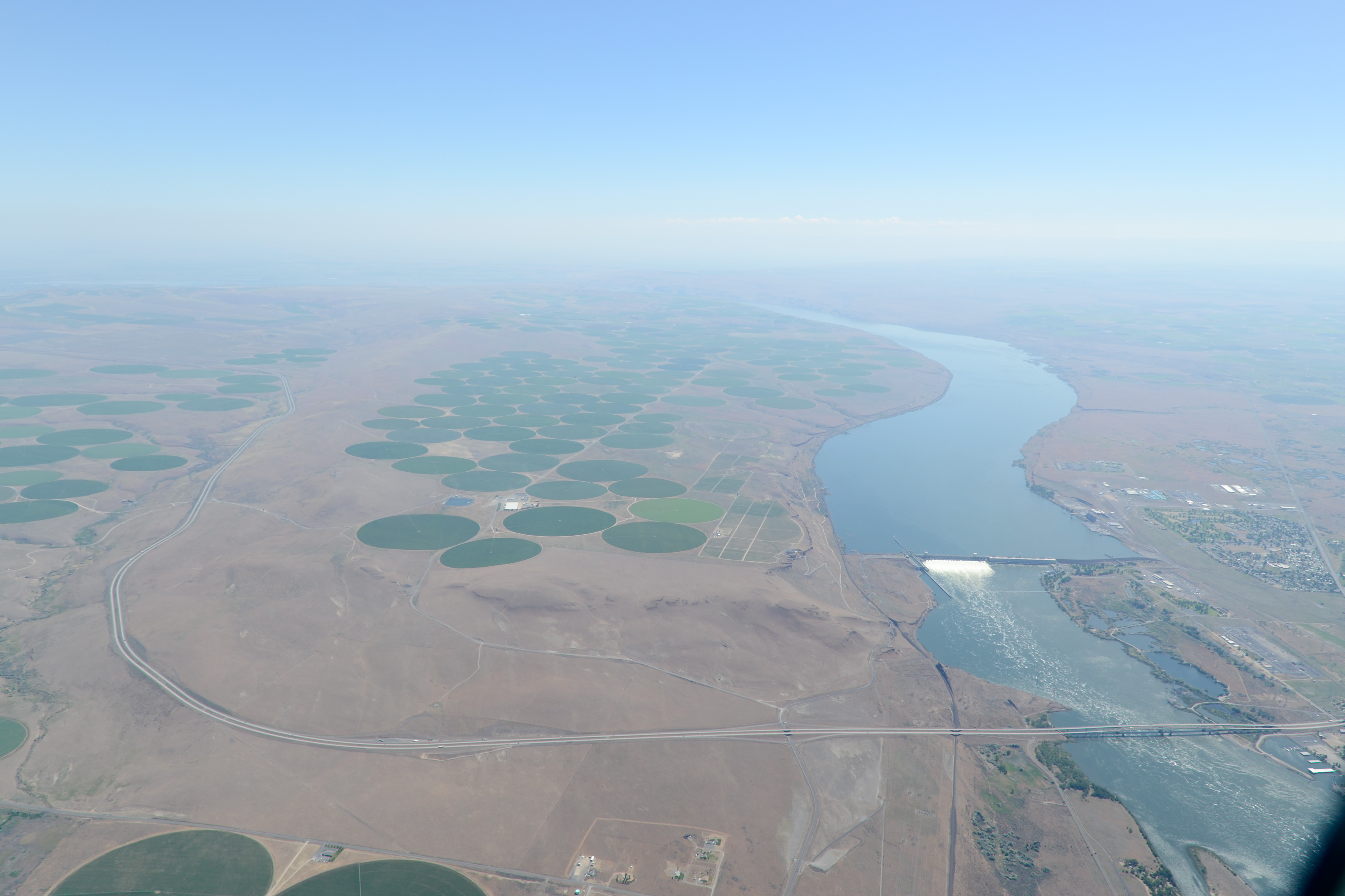
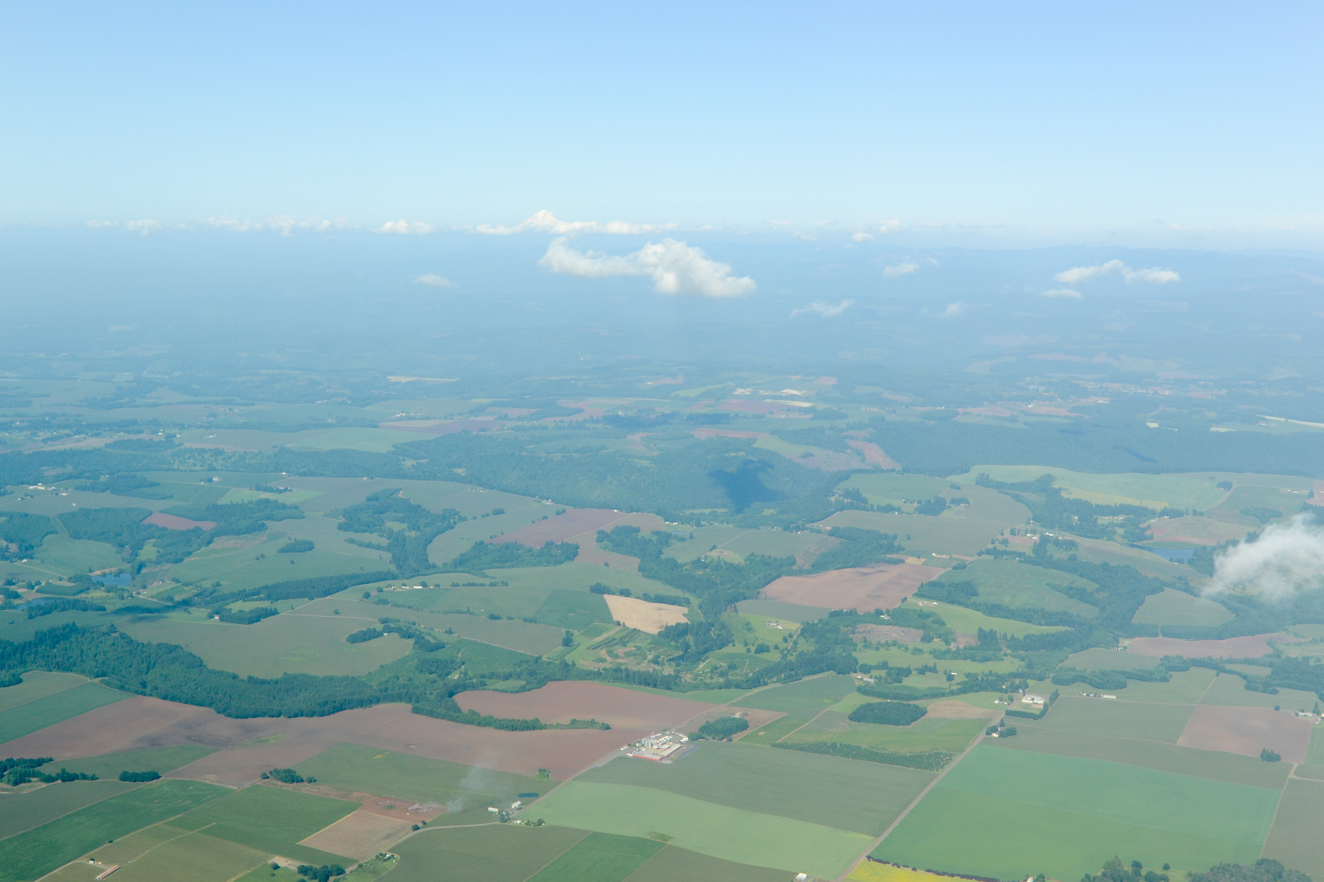
- Southern Nebraska, looking into Kansas
-

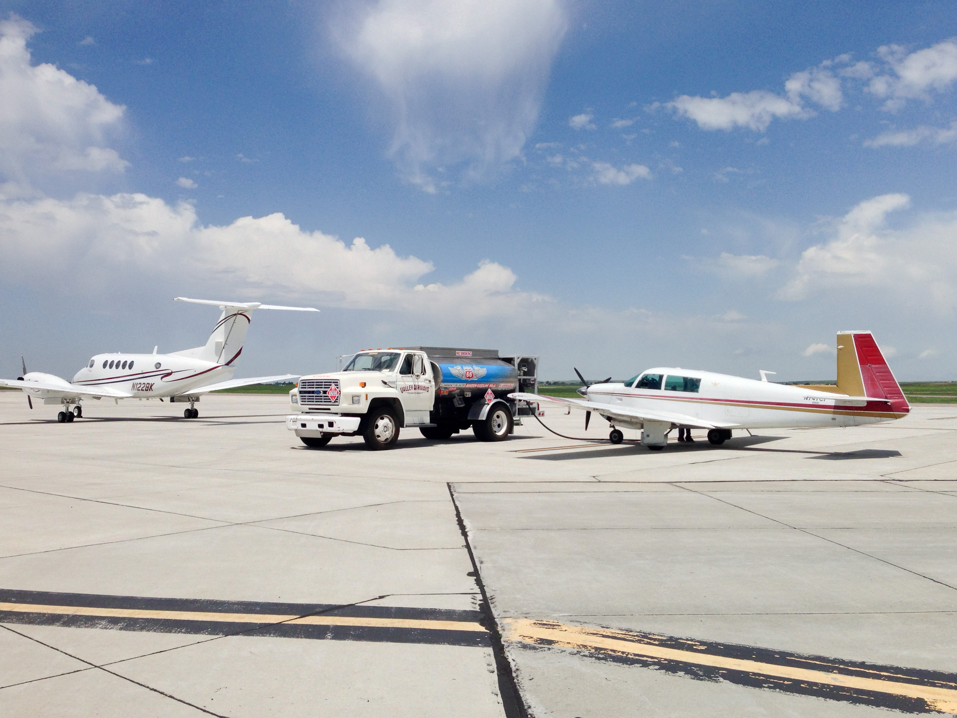
- Windshield cleaner was a great addition to our supply list
-

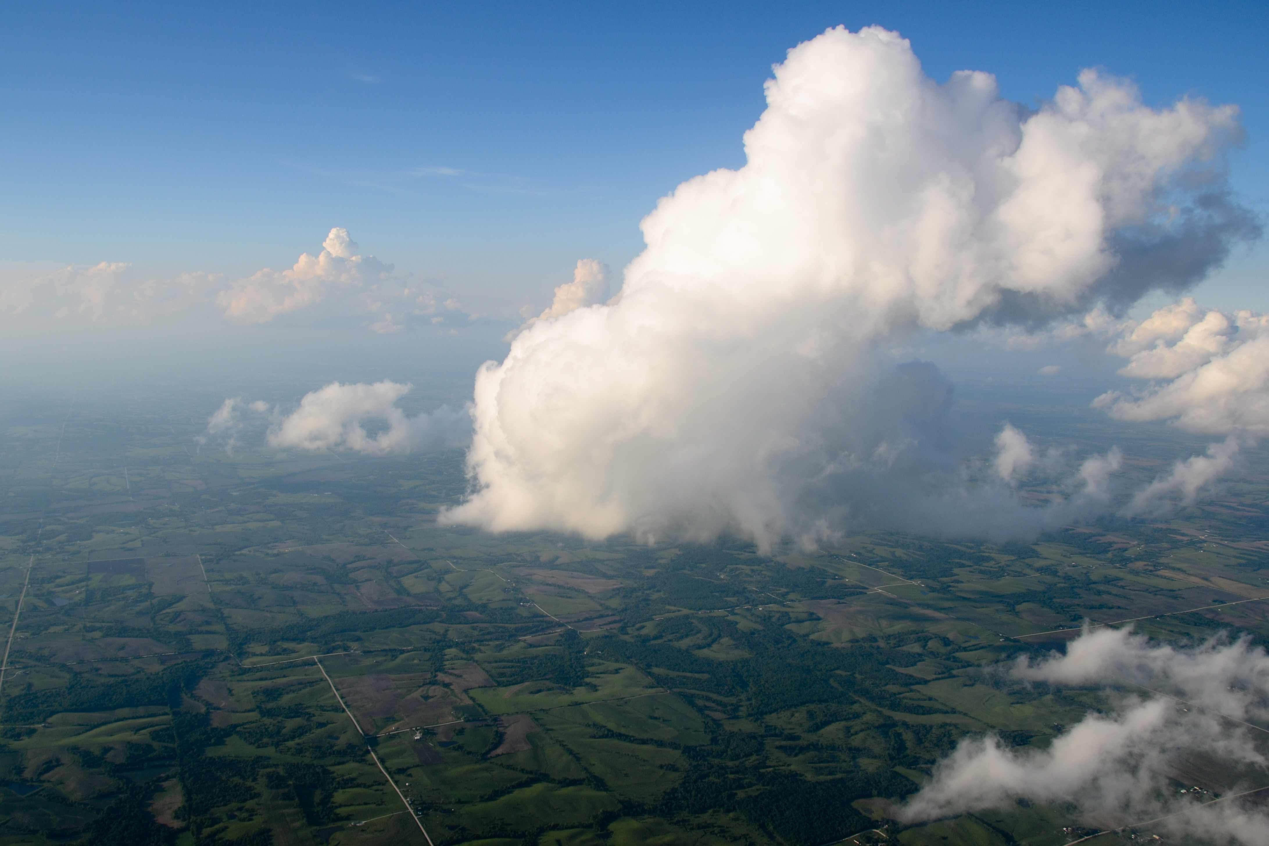
- The isolated storms just an hour ago have completely closed in
After a quick refueling at Plattsmouth and a check of the weather in the mercifully air-conditioned terminal, we head on to our destination for the day: Kalamazoo, Michigan (KAZO). The sun sets as we move east, putting on quite a show as Chicago and Lake Michigan pass off of our left wing. We arrive in Kalamazoo just before 11 pm EDT — two time zones, 10.2 flight hours, and nearly 1400 nautical miles from West Yellowstone, Montana!
-

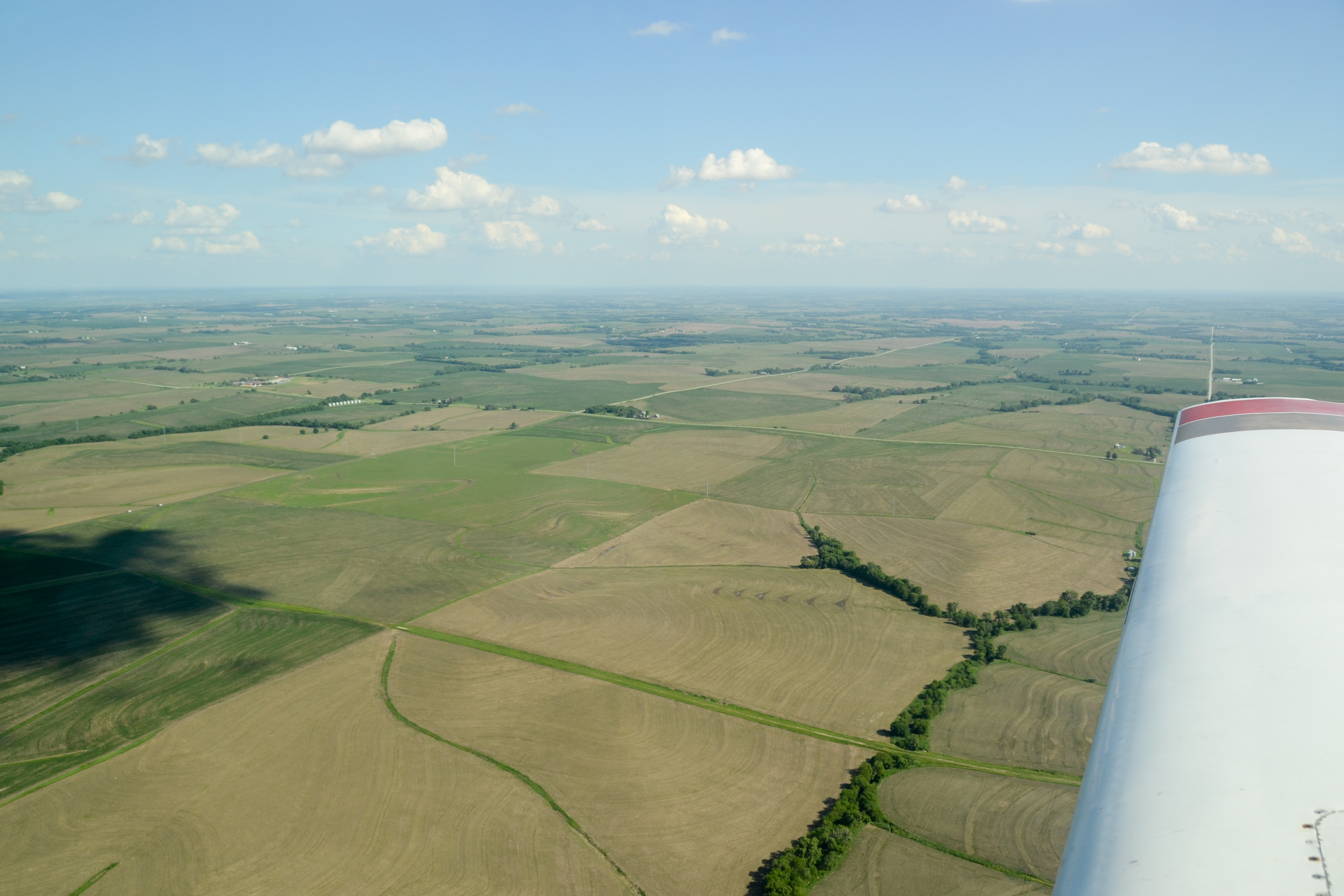
- Over central Iowa, about 20 miles south of Des Moines
-

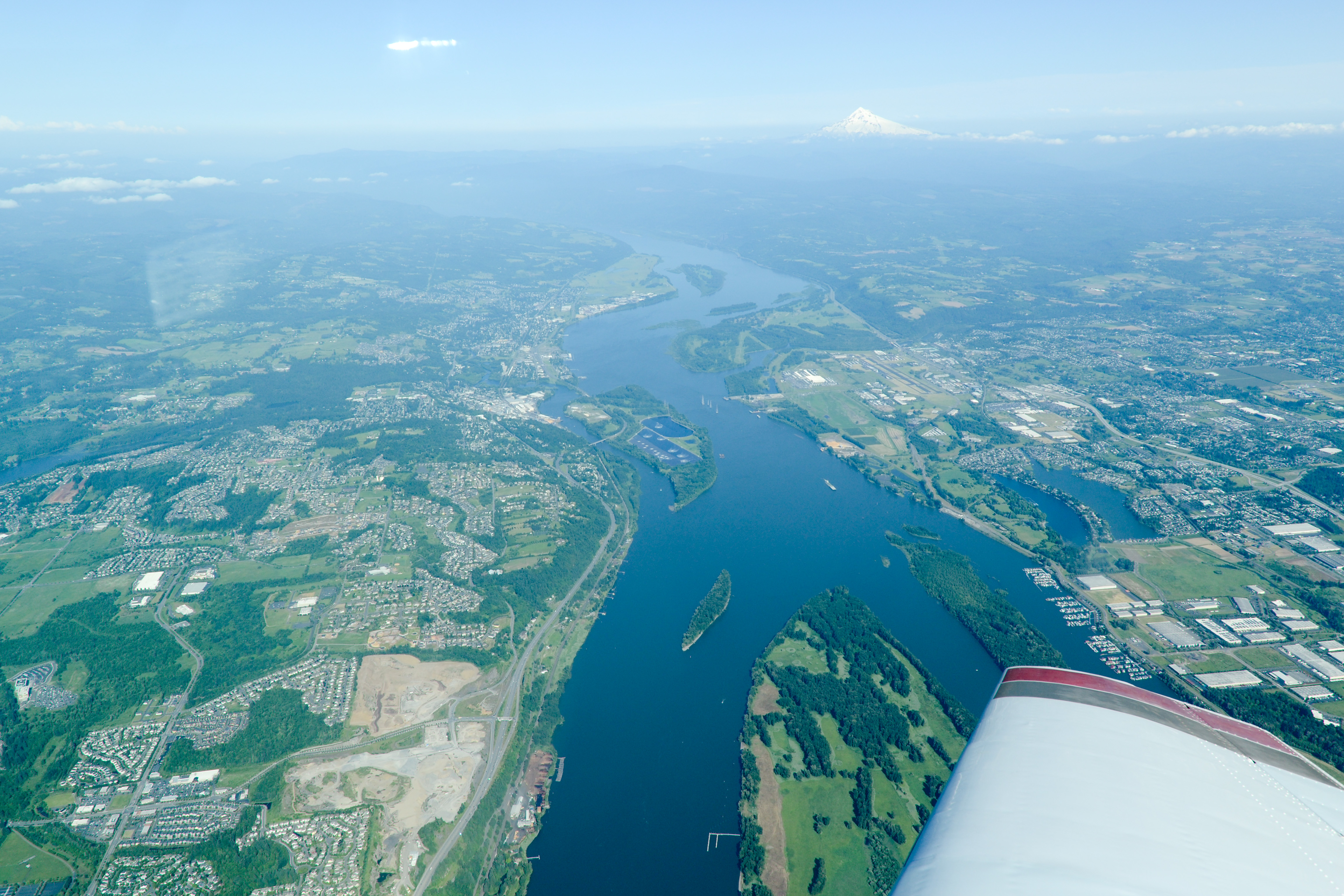
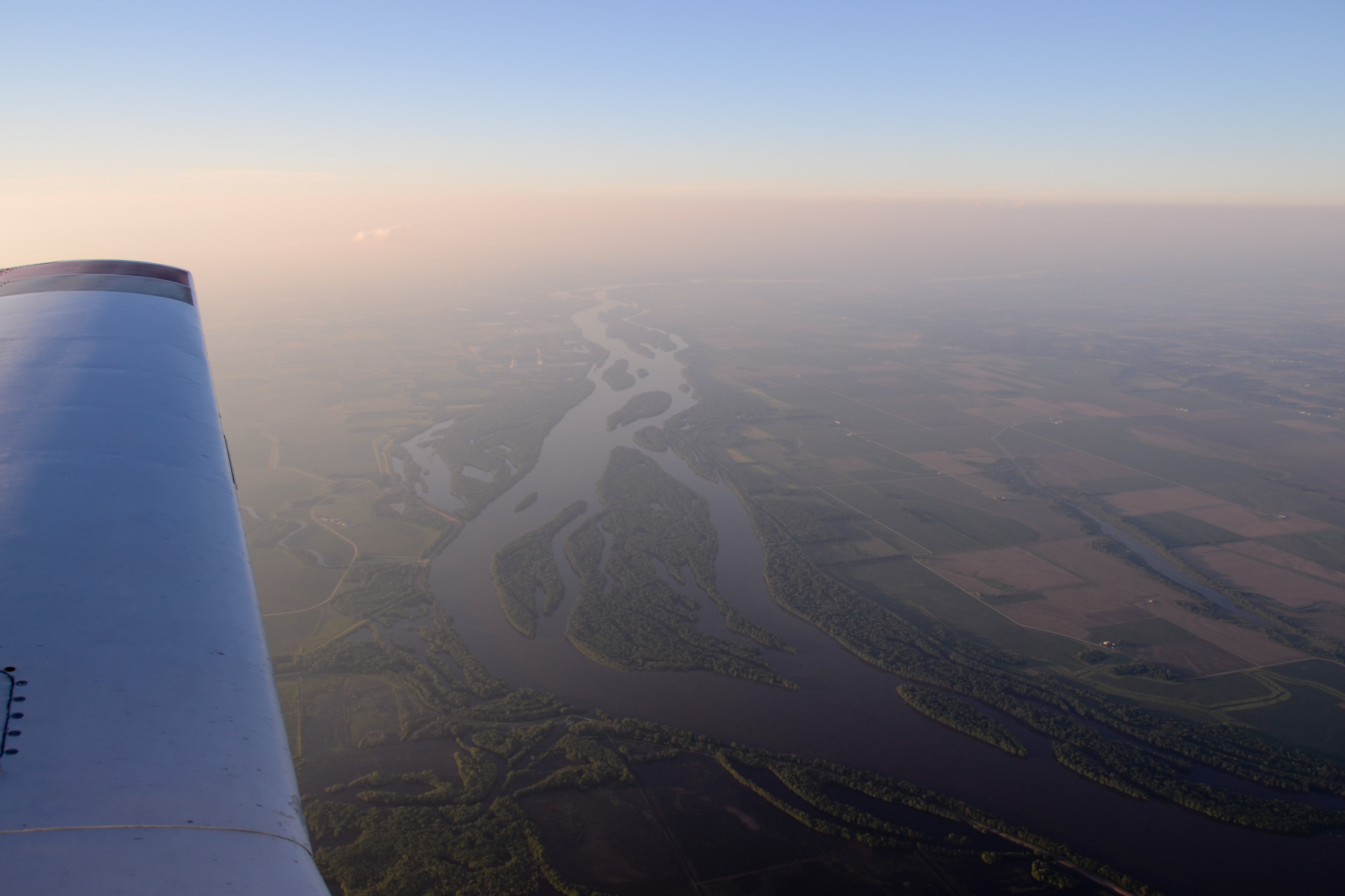
- Leaving Iowa for Illinois and crossing the Mississippi, south of Davenport
-
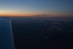
- Sunset south of Chicago

Bri, Jean-Baptiste’s girlfriend, is working in Kalamazoo for the summer, and meets us at the airport. We plan for a late start tomorrow for the final leg of the journal: back to Ithaca!